Author: Shane Butler

Multiple Rounds Of Storms Ahead

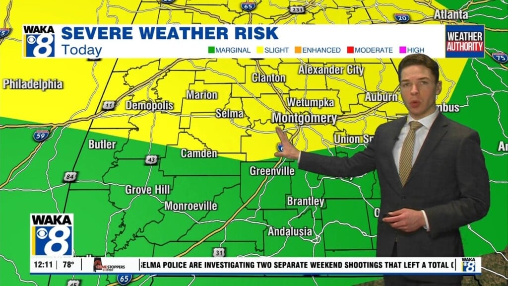
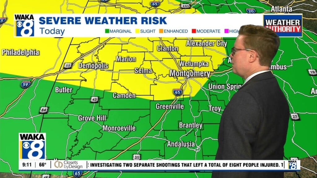
We head towards the weekend with the threat of strong to severe storms lurking over us. There will be multiple rounds of rain and storms passing through the area Friday through Saturday. The first patch would come through during the daylight hours Friday. Scattered showers are more likely Friday morning but storm development will favor the afternoon hours. Storms that…

A Stormy Start To Thursday

A very active weather pattern begins overnight and continues through early Saturday. We expect several rounds of rain and storms to work through the area. The first comes through early Thursday morning and exits into Georgia by early afternoon. It’s looking like a line of storms that will be capable of damaging winds and a brief tornado. The rest of…

We’re definitely feeling some spring warmth out there and it’s sticking around this week. We will maintain 80+ degree warmth for afternoon highs through Friday. A frontal boundary makes a run at us Wednesday night into Thursday. This system will help generate rain and storms as it moves through the state. Some of the storms could be strong to possibly…

Nice Through Midweek

High pressure over the deep south is providing us this quiet weather pattern for now. Days will be sunny/warm and nights clear/cool. Afternoon high temps will reach the 80s by Tuesday. We head into late Wednesday with a frontal boundary approaching the state. Rain and storms are likely ahead and along the frontal boundary. We have a low end risk…

Freeze Warning Overnight

A late season cold snap is holding on through early Saturday. A freeze warning covers our area as temps are expected to drop into the lower 30s early Friday morning. This will lead to patchy frost, so be sure to take care of those tender plants! There’s more sunshine ahead for Friday but temps still struggle to climb through the…

Rain Departs Then Turning Colder

Rain and storms depart the area this evening. Skies will gradually clear from west to east as a cold front sweeps through the state. Colder air will spill into the deep south behind the front. High pressure builds over the region and that will keep our weather quiet for several days. The only issue will come from much colder temperatures…

Strong To Severe Storms Wednesday

Showers and a few storms will be around this evening. Temps hover in the 70s. Overnight is looking mostly cloudy with temps falling into the mid 60s. Rain and storms head into the area tomorrow. Some of the storms could be strong to possibly severe. The main threats will be damaging winds and quarter size hail. The tornado threat is…

Rain/Storms Then Turning Colder!

A quiet weather pattern for now but changes are on the way in two stages. First, we have more rain and storms on the way. A warm front to our south moves northward tonight into early Tuesday. This allows moisture to work back into the area. As a result, we will introduce showers and possibly a few storms into the…

80+ Degree Warmth Saturday

A warm front moves through and north of us allowing a decent warm up for Saturday. Temps will manage low to mid 80s for highs. Winds will be a bit gusty out of the south at 10 to 20 mph. Isolated showers can’t be ruled out but most spots remain dry through the day. Another frontal boundary makes a run…

Severe Storm Threat Into Early Friday

The tornado watch has been cancelled for our area. The area of low pressure responsible for this storm event continues to move farther northward and away from our state. The most significant storms will be following that northward movement and allow us to see our storm threat diminish. Outside of the storm threat will be strong winds area wide. We…