Noon Update: Rain on the Way
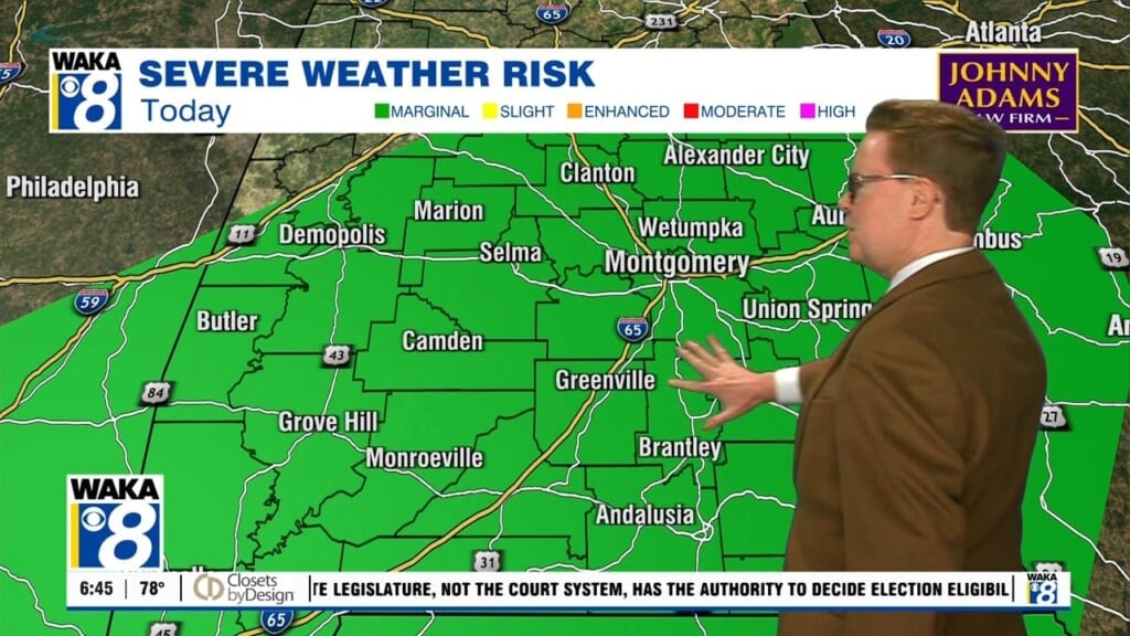
The ridge shifts east and a trough digs down into the Plains the next 24 hours, and this trough will send a cold front our way. Ahead of the front, clouds begin to increase and rain returns to the forecast as we head through today. Best rain chances through the day will be to the west and north, and the main rain should arrive into South/Central Alabama tonight and into Tuesday. Some thunder will be possible, but for now it still doesn’t look like a setup for severe thunderstorms, but it should be a nice soaking rain with many locations possibly receiving around an inch of rain.
MUCH COLDER AIR AHEAD: Behind the front, the coldest air we have seen in several weeks is expected to arrive Wednesday and last for the rest of the week. Days will feature plenty of sunshine, but temperatures will be below average with highs in the upper 50s. Nights will be cold and it is likely temperatures on Thursday and Friday mornings will be approaching freezing as many of us will likely see lower 30s.
WEATHER TIDBITS: The NWS Birmingham has decided to start the Frost & Freeze Program immediately since we are enjoying an earlier start to the growing season in Central Alabama. Growing season for the area typically starts on March 15th and ends on Thanksgiving Day. The Frost & Freeze Program at NWS Birmingham dates have been coordinated with their partners as well as based on historical trends and temperatures. Remember that a Freeze Warning is issued any time the temperatures are expected to drop to freezing or below during the growing season and a Frost Advisory is issued whenever frost is possible during the growing season. With freezing temps expected in the week ahead, we are likely to see these issued later this week.
WEEKEND RAIN/STORMS: We will go ahead and mention it now, next weekend is one of the least favorite weekends of the year for many people as we spring forward onto daylight saving time, meaning we are going to lose an hour of sleep next Saturday night. On the weather maps this weekend, a low pressure will slowly get closer to the area. Moisture and warm air will advect out ahead of that low and showers will be possible throughout the day. Those showers will get heavier and become more likely as we reach the evening hours, and with some instability thrown in, some lightning is possible. A few stronger storms could be possible, but we are too far out at this point to be specific. Saturday’s highs will be in the 60s.
Rain and thunderstorms will continue to be likely during the wee hours of the morning on Sunday, and once again, a few of those could be strong. Most of the rain will be out by the early afternoon hours, but a few stray showers could wrap around the backside of the low. Don’t expect to see much cloud cover, and most places could see between 1/2 to 3/4 of an inch of rain by the end of Sunday. Highs will be in the mid-60s to the lower 70s.
Have a great day!
Ryan