Rain Moves Out Soon; Calmer Days Ahead
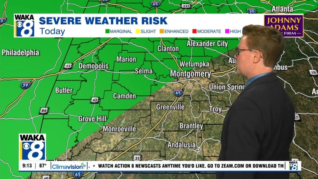
A Level 1/5 Marginal Risk is in place for many of our southern counties this morning, as we could see strong to severe storms in the morning and midday hours. Storms could produce damaging winds up to 60mph, large hail, and potentially a tornado or two. Once this system passes by the midday hours, we’ll be seeing some clear skies this afternoon! Highs will be in the low 70s. Clouds will roll in after midnight tonight with lows in the low to mid 40s.
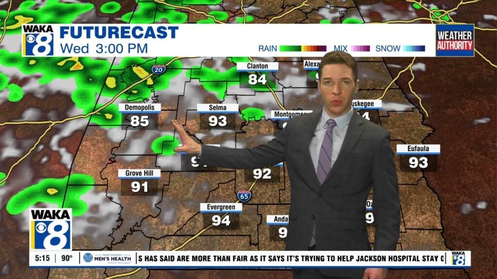
For our Wednesday, some clouds will be overhead to start the day. Cloud cover will dissipate as we go through the day, and our temperatures will struggle to get out of the 60s in most spots.
Thursday and Friday are looking calm as well, but temperatures will be back on the rise. We’ll likely be back in the 80s by Friday, with rain and storms returning to the area Saturday.