Mid-90° heat, chances for afternoon showers/storms through Friday
Tuesday was another very hot and humid day across central and south Alabama, with peak heat indices of 105°+ during the afternoon. A heat advisory continues through at least 9PM Tuesday for central Alabama. Meanwhile, the heat advisory for southwest Alabama expires at 6PM Tuesday. However, the rest of this week still looks very hot and humid, with high temperatures in the mid 90s, and peak heat indices of 100°+.
Some rain returned Tuesday, and at least isolated showers or storms linger into Tuesday evening. A marginal (level 1/5) severe risk continues for our area Tuesday evening. One or two storms may produce a damaging wind gust. Rain ultimately fades away overnight. The sky remains partly cloudy, while temperatures fall into the mid 70s.
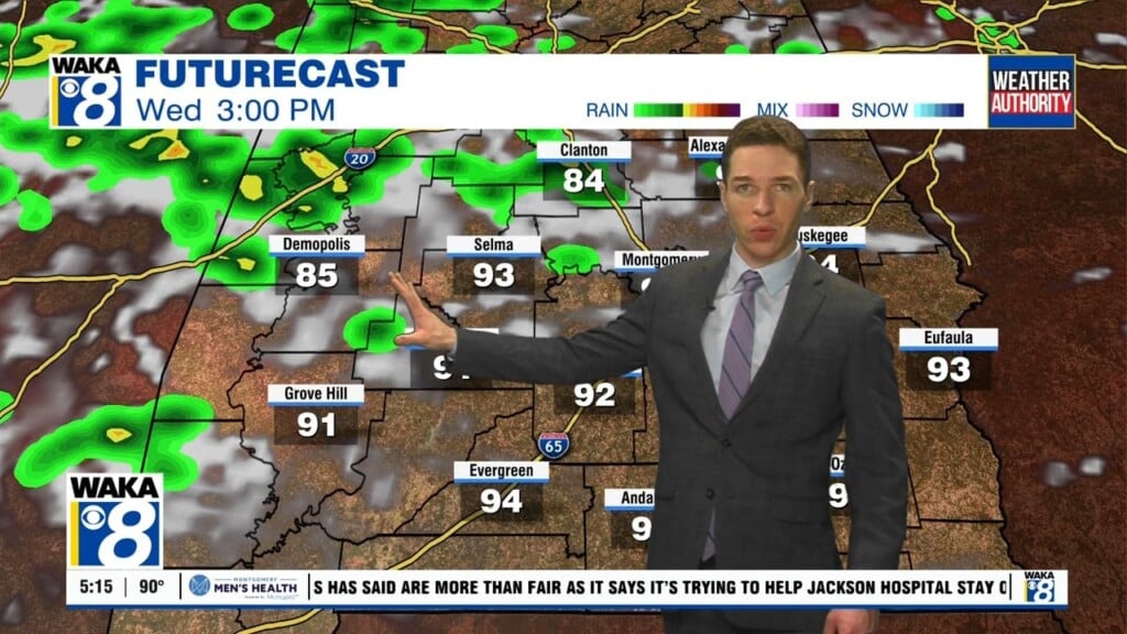
Isolated to widely scattered showers and storms remain possible during the afternoon and evening hours for the rest of this week. A few storms may become severe Wednesday and Thursday afternoon. A marginal risk includes part of our area each day, with damaging wind gusts as the main hazard. Chances for afternoon showers and storms continue Independence Day weekend, with high temperatures in the low to mid 90s otherwise.