Heat & Humidity Cranking Up This Week
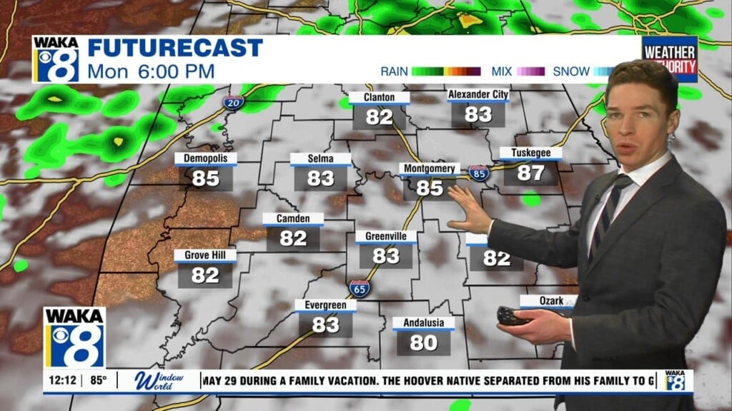
We will be slipping into a typical hot and humid weather pattern this week. Rain chances will be slim but those isolated showers and t-storms during the afternoon heating can’t be ruled out. Temps will be the issue with highs in the lower 90s for several days. Heat indices (what it will feel like) will hover in the upper 90s throughout the latter half of the week.
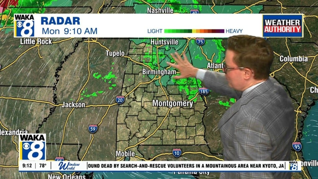
In the meantime, we’re expecting a mostly cloudy sky with temps only falling into the lower 70s overnight. Tuesday starts out mostly cloudy and a few showers are possible across East Alabama. Clouds and rain activity could slow the warming a bit east of the I-65 corridor. Most spots westward will be into sunshine and that will allow temps to reach the 90 degree mark for high temps.
The rest of the work week is looking typical for June. Our sky will look mostly sunny and temps heating up into the upper 80s to lower 90s for highs. Rain chances will be slim throughout the week but of course those isolated showers or t-storms can’t be ruled out during the late afternoon heating.
The upcoming weekend will include a bit more moisture over the area and that will provide the fuel for more of those afternoon showers and t-storms. Temps will continue to manage the upper 80s to lower 90s for highs.