Breezy & Much Cooler Conditions Ahead
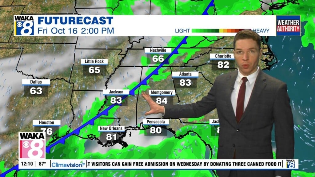
We’re going to squeeze in one more summer-like day before changes head our way. High pressure will give way to a frontal boundary moving into the area Friday. Behind the boundary will be noticeably cooler and breezy conditions.
In the meantime, tonight is looking clear with the winds going calm. Temps will drop into the upper 50s to lower 60s for overnight lows. Thursday is setting up to be sunny and summer-like with temps climbing to around 90 degrees for the high.
Friday will begin like Thursday but it won’t end that way. We’re expecting sunshine to give way to some clouds. Temps will manage to reach the mid to upper 80s for highs. A frontal boundary will pass through the state later Friday afternoon. All indications are the boundary moves through dry but it will bring gusty winds with it. We expect northerly winds around 6 to 12 mph with gust up to 25 mph.
Saturday and Sunday will have the look and feel of fall. We’re likely to see a blue sky and feel a cool northerly wind flow across the area. Daytime temps will reach the upper 60s to lower 70s while overnight temps drop into the upper 40s to lower 50s.