Dry, high temperatures near 90° for now; Much cooler this weekend
Despite the near-record high temperatures Monday and Tuesday, our overnight lows were near-normal Monday and Tuesday night. Tuesday morning lows were in the mid to upper 50s in most locations. Temperatures approach record-high territory again Wednesday afternoon, peaking near or above 90°. Meanwhile, the sky may remain cloudless once more while humidity remains relatively low. Wednesday night looks mainly clear with lows near 60°.
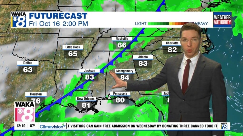
Thursday looks mainly sunny too with high temperatures close to 90°. However, our weather pattern changes Friday. A cold front arrives in Alabama during the afternoon. The air behind the front looks significantly cooler. Many locations still warm into the mid to upper 80s Friday afternoon in advance of the front, but temperatures drop significantly behind the front Friday night. Otherwise, we may see clouds increase Friday, but looks like our area stays rain-free.
Friday night lows fall into the 50s if not 40s for some locations. Saturday remains much cooler and breezy despite sunshine, with highs in the 70s. Saturday night lows fall into the 50s if not 40s again. Sunday also looks partly to mostly sunny with highs in the 70s. Sunday night lows may be closer to 60°.