Storm Threat Continues This Evening
A frontal boundary moves into the region tonight into Thursday. This system will help generate showers and t-storms as it works through the state. There could be a few strong to possibly severe storms this evening.
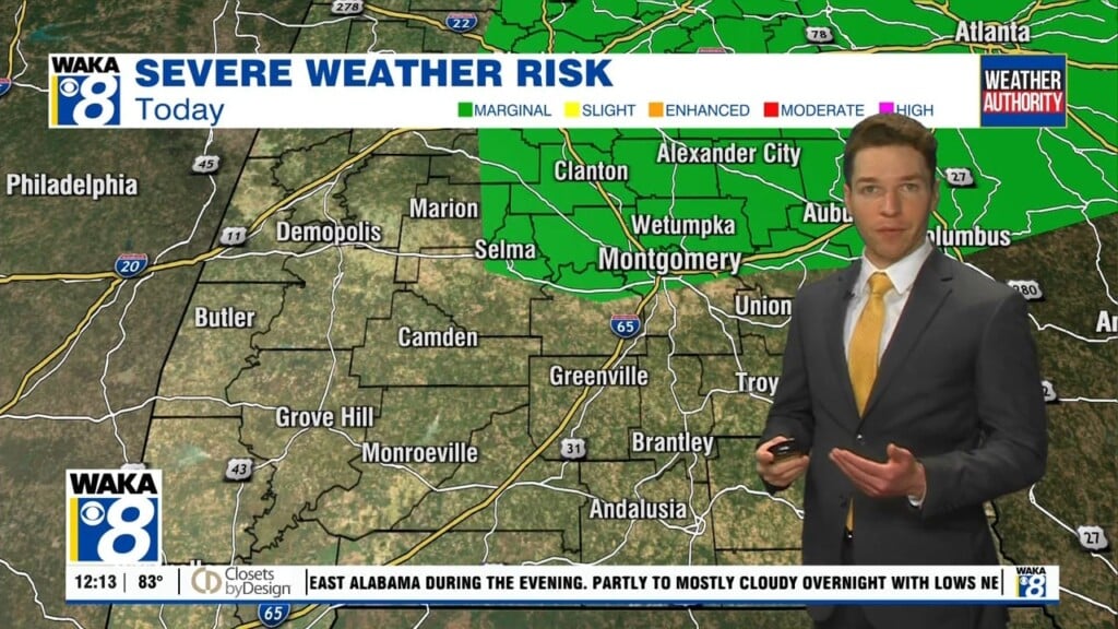
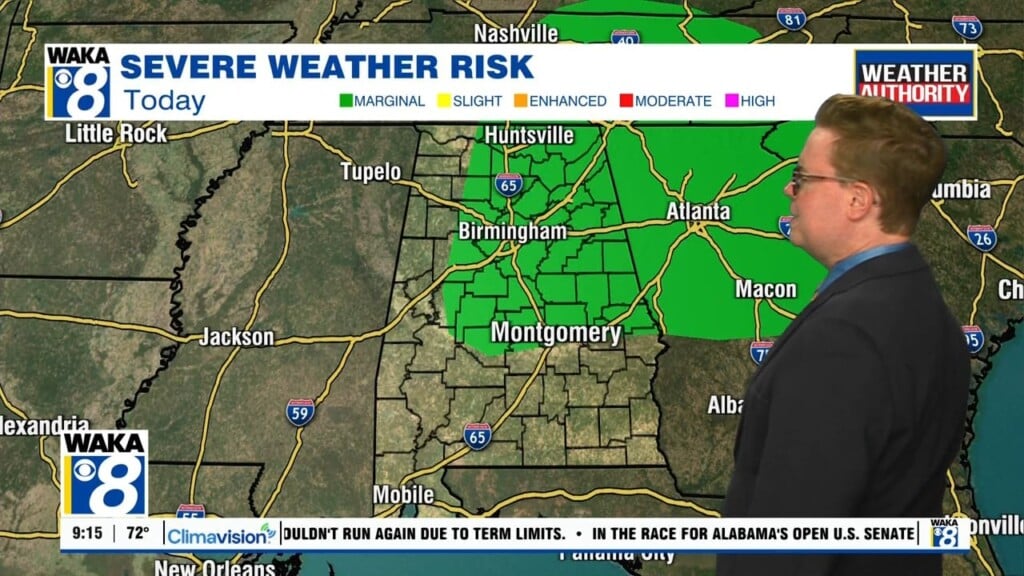
Showers and t-storms are likely through the evening hours. We do have a marginal risk (1 out of 5) for severe storms. The main threats will be a brief spin up tornado or damaging wind gusts up to 60 mph. Showers will linger across East Alabama overnight. Temps will only drop into the lower to mid 60s for lows.
The frontal system will hover over the area Thursday. We will maintain a chance for showers across East and South Alabama but we don’t expect much. Temps will once again climb to around 80 degrees for the afternoon high. Another frontal system will head into the state as we move into Friday. We’re still warming into the upper 70s out ahead of the boundary. It looks like the front passes through dry but the air behind it is much cooler.
A surge of cool Canadian air will spill into the state over the upcoming weekend. Temps will drop back into the upper 60s to lower 70s for highs and overnight temps will bottom out in the lower to mid 40s. It will be a much cooler air mass over us but there will be lots of sunshine to enjoy both Saturday and Sunday.