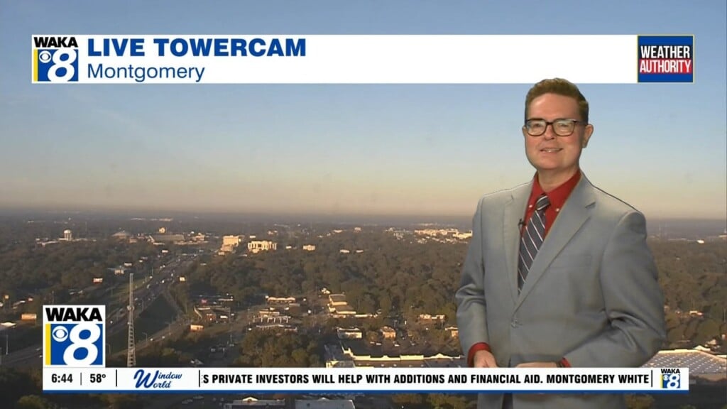
Colder Air Settles Over Us This Weekend
We’re on the backside of a frontal boundary this weekend. A surge of much cooler air will spill into the area behind the frontal system. This will lead to some of the coldest air so far this fall. Temps will drop into the mid to upper 30s with patchy frost possible across our northern counties.
A surge of cool Canadian air is settling over the state. High pressure will be over us and this weather feature will help keep the sky mainly clear. Temps will drop back into the upper 60s to lower 70s for highs and overnight temps will bottom out in the mid to upper 30s north and upper 30s to lower 40s south . Patchy frost is possible both Sunday and Monday mornings.
Next week will be trending warmer with temps climbing back into the mid 70s for highs and lows dropping off into the 40s. Looks mainly sunny throughout the week. There’s a few indications another round of colder air works into the state later in the work week.