New Day, Same Forecast: Rain & Storms at Times
TODAY THROUGH MEMORIAL DAY WEEKEND: Warm, humid air will remain over Alabama, and we will need to carry the chance of scattered showers and thunderstorms on through the holiday weekend. The sun will be out at times, and while the storms will be most active during the afternoon and evening hours, we can’t rule out a late night or morning shower. Highs over the weekend will be in the 80s.
TROPICAL MISCHIEF: A broad surface low centered over the southeastern Yucatan Peninsula has become better defined since yesterday, and it continues to produce a large area of cloudiness and showers extending from the northwestern Caribbean Sea across Cuba into the Florida Straits. Continued slow development of this system is possible during the next couple of days as it drifts northward near the Yucatan Peninsula. Thereafter, environmental conditions are forecast to become more conducive for development, and a subtropical or tropical depression is likely to form this weekend over the eastern or central Gulf of Mexico. Regardless of development, locally heavy rainfall is possible across western Cuba and the Cayman Islands during the next few days, and over much of Florida and the northern Gulf Coast during the weekend. Formation chance through 5 days…high…70 percent.

The European global model (0Z run) now keeps the low over the Gulf, near the Louisiana coast, through Tuesday… then moving northward into West Alabama by Wednesday. The American model (0Z GFS) shows a low over North Florida (west of Jacksonville) Sunday, then it drifts into Alabama Monday. Again, a huge difference in track and timing.
Here are the key points: The tropical disturbance won’t be a dangerous hurricane or tropical storm, most likely it will be a tropical depression as it moves inland. The main issue will be rain, not wind. With the large amount of uncertainty, it is very difficult now to forecast the axis of heavier rain on the Gulf Coast. No doubt some coastal communities could see heavy rain over the holiday weekend, but it remains to be seen which ones.
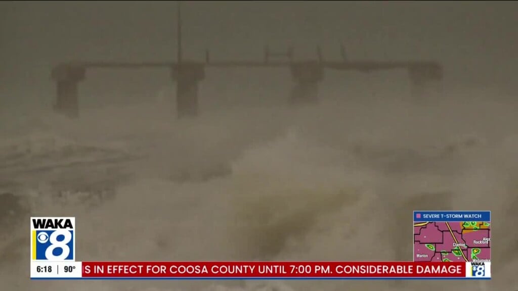
There should be some decent intervals of sunshine on the coast Saturday through Monday, but there will be more clouds than sun on these three days. The Gulf system will bring potential for dangerous rip currents; if you see red flags flying, don’t get in the water. The risk simply isn’t worth it.
NEXT WEEK: The surface low should dissipate over the Gulf Coast states at some point next week, but moist air will remain and the risk of at least scattered storms will continue daily through Friday. Highs will remain in the 80s.
Have a great day!
Ryan