Rinse and Repeat Forecast
For our Thursday, more of the same in the world of weather, expect a mix of sun and clouds, highs in the mid to upper 80s, and the isolated chance for a passing shower/storm, mainly during the afternoon and evening hours, but most locations will be staying dry.
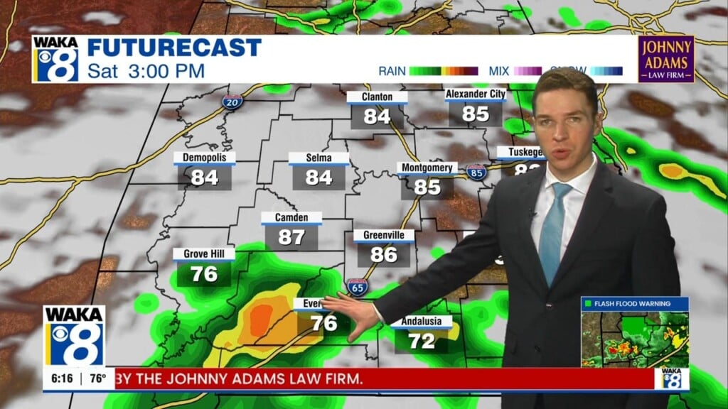
FRIDAY & THE WEEKEND: Showers/storms will become a bit more numerous Friday and Saturday as a weak surface front approaches the state. For the most part, rainfall totals will not be overly impressive with the completely random placement of the convection, and model output suggest less than an inch of rain through the weekend. For both Friday and Saturday, expect more clouds than sun with the occasional shower or storm, but no “washout” by any means. Highs both days will be in the mid to upper 80s range.
By Sunday, the frontal boundary will push out the area and the weather will trend drier for much of the state. There could be a few showers down across South Alabama, but for the most part, we should see more sun than clouds with highs in the mid 80s.
INTO NEXT WEEK: The upper-level ridge will continue to hold over portions of the Southeast; meaning we stay very warm with above average temperatures. Much of next week looks to feature highs in the mid to upper 80s across the state, and the first half of next week looks to remain dry as well, with hopefully as few showers/storms returning to the forecast for the second half of the week. Still no signs of a major rain event for the state and there is nothing to suggest any severe weather issues anytime soon for Alabama as the main storm track looks to have shifted to the north and west.
Have a great day!
Ryan