Rain & Storms; Strong Cold Front for Halloween
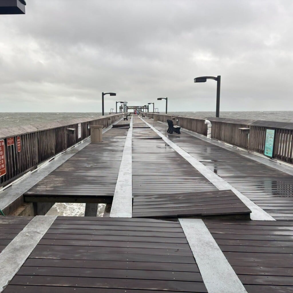
RAIN & STORMS: Today and tomorrow will feature cloudy conditions with periods of rain as waves of showers and storms develop and work across the state. We do have to mention the risk for a few strong to severe storms both days as the SPC has issued a “marginal risk” (level 1/5) for severe storms today for much of Alabama. A few strong to severe thunderstorms are possible with localized wind damage or a brief tornado possible as we head into the afternoon and evening hours.

And tomorrow, the threat is mainly for East and Central Alabama.

This is out ahead of the cold front that will move through the state on Halloween Day. Highs today will be well into the 70s, but tomorrow the high should come early in the day as falling temperatures are expected by the afternoon behind the front. Rain amounts through tomorrow evening will be in the 1-2 inch range for much of the state, with some isolated higher amount possible.
HALLOWEEN FRONT: The strong cold front will come through the state during the day tomorrow, it looks like the rain will end from northwest to southeast across Alabama during the afternoon and evening hours. For now, it looks like many locations in North/Central Alabama could be dry for trick or treating, but for areas in South/Central Alabama, scattered showers are expected to last into the early evening hours. However, as stated above, temperatures should be falling pretty rapidly through the afternoon hours, and by the time we get to the evening hours, it is going to be cold and blustery. Many communities will be in the falling into the lower 50s by late afternoon, into the 40s through the evening hours, and it will be feeling colder with those a brisk northwest winds.
COOL DAYS, COLD NIGHTS TO START NOVEMBER: By Friday morning, the sky will be clear and the coldest air of the season so far will settle into the state. Lows should be well down 30s to start the day. Friday will be sunny, cool, and breezy, as highs should generally be in the lower 60s. Saturday and Sunday look to feature dry weather with plenty of sunshine; highs will be in the lower to mid 60s, while lows in the 30s are expected both mornings. Patchy frost will be possible both mornings for some spots.
TIME CHANGE: Daylight Saving Time ends this weekend; we will set the clocks back one hour late Saturday night, which means you should get an extra hour a sleep, if you are lucky. But we are going to start seeing those earlier sunsets and the sunset time on Sunday will be 4:53PM CST.
INTO NEXT WEEK: The mainly sunny, dry fall weather looks to persist with temperatures slowly moderating early next week as highs return to the 70s. For now, the next chance of significant rain looks to arrive late next week on Thursday or Friday with our next another cold front.

IN THE TROPICS: A non-tropical low pressure area located several hundred miles west of the westernmost Azores continues to produce disorganized shower and thunderstorm activity. This low is also producing a large area of winds of gale to storm force. This system is forecast to move
southward over slightly warmer waters, and it could acquire some subtropical characteristics during the next day or so. Environmental conditions are expected to become unfavorable for any further development by Thursday night when the low is forecast to move back over colder waters. Formation chance through 5 days…low…30 percent.
Be safe on this wet Wednesday!
Ryan