Severe Threat Over; Cooler Sunday Morning
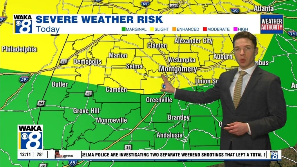
The severe weather threat is over across central and south Alabama. However, a strong line of storms marched west to east across our area this afternoon. It left quite a bit of damage in its wake, with recorded wind gusts exceeding 50 mph in many locations. Temperatures remain rather mild as the linger showers come to an end this evening. The main cold front is currently pushing through our area, and cooler air moves in overnight. Lows fall into the upper 40s to low 50s under a partly cloudy sky.
Some fog is possible early Sunday morning, but it won’t be particularly widespread. The front currently moving through our area stalls to our southeast, and it returns to the north as a warm front by Monday. On its return north Sunday, clouds increase during the afternoon with some spotty showers possible as well. Many locations remain dry, but everyone gets mild temperatures. Sunday afternoon highs reach the upper 60s. Sunday night lows only fall into the 50s.
An unsettled pattern gives our area a daily chance for rain next week. The previously mentioned front remains draped across our area through Wednesday, producing a daily chance for numerous showers and thunderstorms. A little instability could be in place too, so some stronger storms are not out of the question over the first few days of the week. However, the threat appears low at this time, but we may need to assess on a day-by-day basis. Expect highs in the low 70s and lows in the 50s next Monday through Wednesday. The front should finally push south of our area as a cold front on Thursday, but showers and storms are possible along the front as it does so. Expect a return of cooler air late next week, with highs in the 60s Thursday and Friday.
Another storm system could impact our area early next weekend. While it looks like a strong system, there may not be enough time for the atmosphere to recover in our area after Thursday’s front. Models indicate highs only in the 60s next Saturday, which wouldn’t be a warm and humid air-mass needed for severe storms. Of course, there’s a lot of time for things to change between now and next Saturday, so we’ll keep an eye on it. Next Sunday is the only day in our forecast without a chance for rain. Sunday looks cooler in the wake of Saturday’s system, with highs in the 50s and lows in the 30s.


