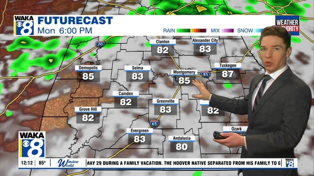
Very hot days ahead
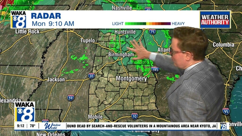
Heading out the door this morning, several communities are residing in the low 70s! What a nice break from the humid mornings we’ve been experiencing. Satellite/radar is quiet and is expected to be quiet most of the day. A stationary front is parked to our south and high pressure is off to the north.
Tuesday will be yet another hot day with actual highs in the mid 90s and heat indices nearing 100° this afternoon. A sporadic shower is possible but most of us should expect to remain dry today.
Wednesday will once again be hot and mostly dry but model data has been fairly consistent with slight rain chances in the afternoon. Even still, most of us should expect sunshine and dry conditions but count yourself lucky if you get caught under a shower because heat indexes could top out near 105°.
Thursday and Friday will likely be the hottest days of the week with highs in the upper 90s.