Strong To Severe Storm Threat Friday Into Saturday
An active weather pattern is about to ramp up and we’re looking at the potential for strong to severe storms along with soaking rains. High pressure is moving east of us and that’s allowing a frontal system to advance eastward towards the state. It’s a setup that we will be watching closely as it works across the area Friday through Sunday.
In the mean time, temperatures won’t be near as cold as they have been overnight. We’re expecting mid to upper 40s for lows. Southerly breezes will be kicking in and daytime high temps will warm nicely into the upper 60s to lower 70s for the next few days. Definitely milder temperatures but wet and stormy at times throughout the weekend.
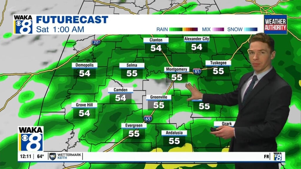
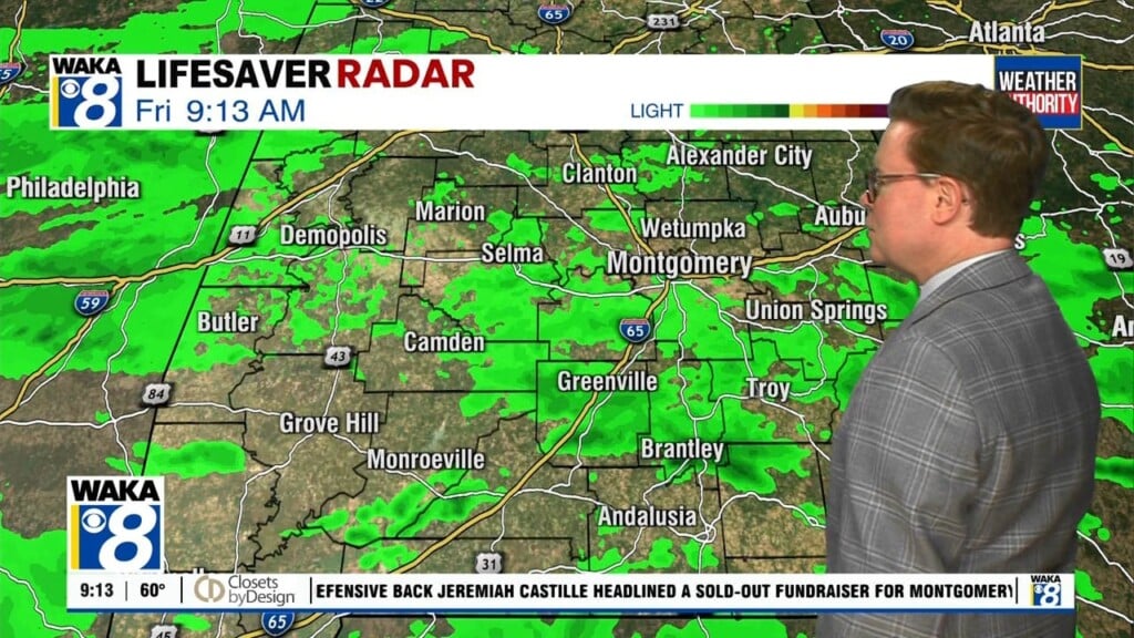
Friday will start out with showers but as the day progresses we could see a few strong to severe storms across our southern counties. The NWS has central and south Alabama in a marginal risk area (1 out of 5). The main threats will be a few brief tornadoes and damaging wind gusts up to 60 mph. Heavy downpours are likely with the stronger storms. The storm threat will continue into the evening an overnight into Saturday morning. Another round of heavy rainfall is possible with stronger storms. We can’t rule out a third round of storms moving through late Saturday night into Sunday morning. You will want to make sure you stay weather aware throughout the weekend.
On a positive note, temperatures will be a lot milder throughout the weekend. We’re only falling into the lower 60s for lows and daytime highs will manage lower to mid 70s. There should even be some breaks in the clouds at times, so there could be times when outside conditions feel pretty nice.


