Rain Chances Increase For Late Week
Despite the spring storm season still ongoing, we continue to avoid anything significant around here for now. A frontal boundary will move into the area late week and that could spark some stronger storms. It’s something we will be watching throughout the week.
In the meantime, springtime warmth will be in play most of this week. Temps will manage the mid to upper 80s for highs and overnight lows in the mid 60s. Isolated showers or t-storms will be possible each afternoon.
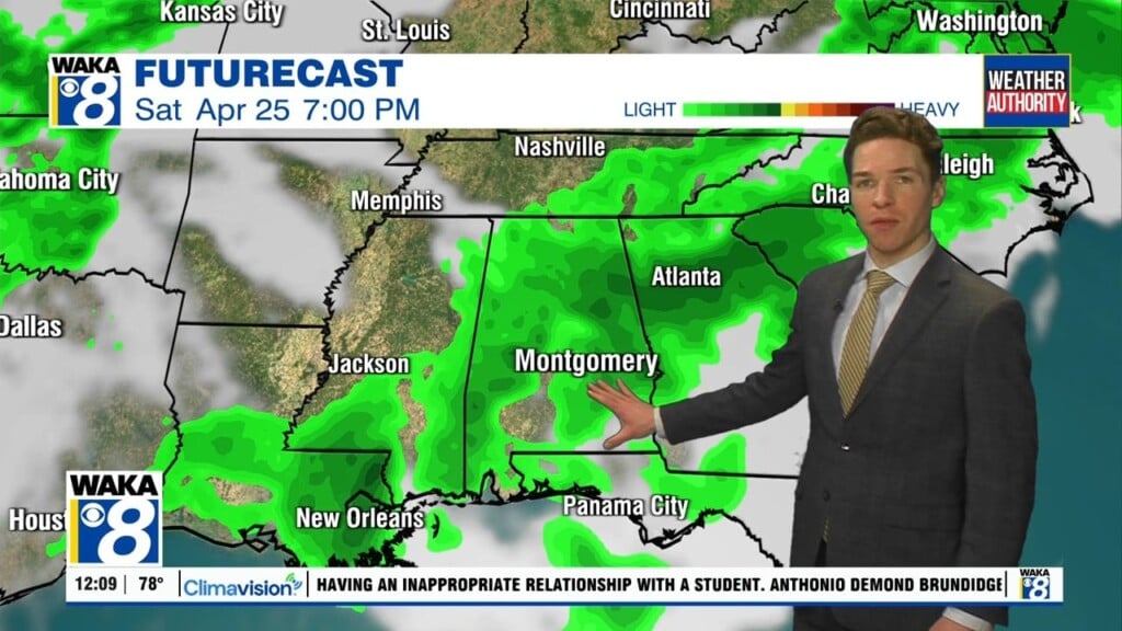
We have a frontal boundary moving into the deep south late Thursday. This system will help trigger showers and t-storms Thursday afternoon into Friday. It’s still early but we may need to introduce a stronger storm threat at some point this week. The front may just take its time departing and that could leave clouds and some rain in the area Saturday.
Looks like we’re on the backside of the frontal system Sunday. Northerly winds will usher in a fresh batch of dry/cooler air to the area. This could set the stage for some really nice and mild weather conditions for Sunday.


