The Warmth Sticks Around For A While Longer
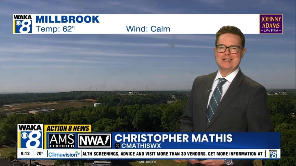
The warmth just keeps on coming but we do see colder air returning but it’s going to be several days before it happens. In the meantime, we’re expecting upper 70s to lower 80s and that could mean record warmth for some areas. Our next chance for rain will move into the area Friday into Saturday. It doesn’t look like any significant rainfall and there’s no severe storm threat at this point.
The warming will continue right along and we’re back in the lower 80s Thursday. A frontal system will work its way into the region Friday. The front will help trigger our next round of rain. There could even be a rumble or two but we don’t see anything going severe. Rainfall amounts are looking rather lite and under a quarter of an inch. Some rain activity will linger into early Saturday but we’re back into sunshine that afternoon. Sunday is looking dry and mild with highs back in the mid 70s.
Thanksgiving week will start out dry but it looks like a disturbance will move through the area Tuesday into Wednesday. We will see our next round of rain activity with this system. Early indications are we’re on the backside of the system Thursday. Right now, I could see skies partly cloudy sky and temps in the mid to upper 5


