Cloudy And Wet Overnight
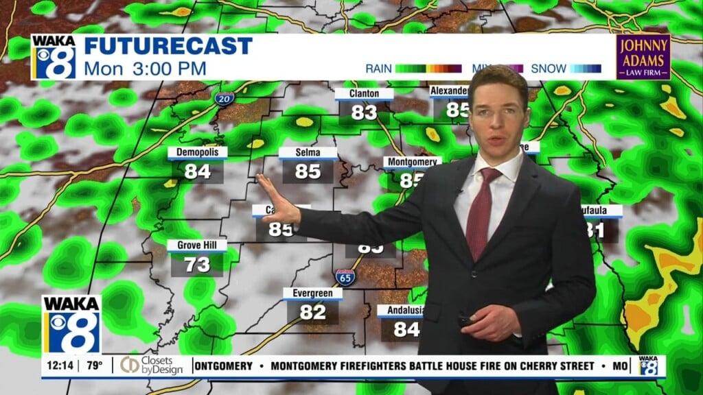
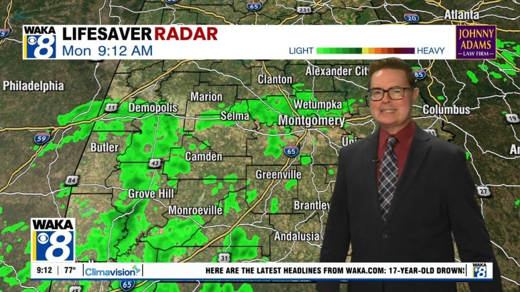
A frontal boundary will make its way through the area tonight into early Wednesday. We expect rain to accompany the front overnight and into the first half of Wednesday. A surge of colder air will move in behind the frontal passage and we have a few chilly night ahead. The warmth will come back sooner than later. Looks like an extended period of warmth returns over the upcoming weekend and continues well into next week.
In the meantime, the frontal system moves into the area tonight. It will push our next opportunity for rain through the area. Rainfall potential will be around .50 inch. Cooler air will move in behind the frontal system Wednesday. Temps will drop into the upper 20s to lower 30s Thursday and Friday morning. We’re expecting a high of around 50 degrees Thursday afternoon. Abundant sunshine along with another surge of warmer air returns for Friday. We could reach the lower 60s for afternoon high temperatures.
Upcoming weekend won’t be anything like what we just experienced. High pressure will be over us and provide lots of sunshine and temps will respond. Morning temps will start out in the upper 30s to lower 40s and afternoon highs will top out in the lower to mid 60s! It’s a big pattern change that will carry over into that following work week. We could be in the upper 60s and even lower 70s going into the middle of next week.