Our Rainy Weather Pattern Holding Firm
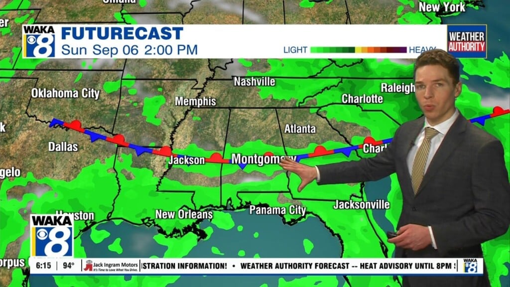
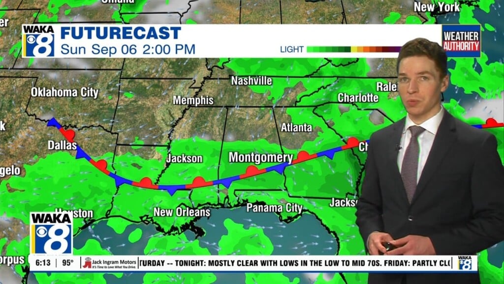
We remain in a rather active weather pattern and all indications are it will last through the workweek and into the upcoming weekend. This means the daily rounds of showers and t-storms will continue. Rainfall could be heavy at times with passing storms. Severe storm threat looks low but a strong storm or two can’t be ruled out. The good news about all of this wet weather is our current drought situation being impacted. The rainy weather will surely bring some relief to the extreme drought conditions we’re experiencing.
In the meantime, we head into Tuesday with a familiar look to our weather. More clouds than sunshine with scattered showers and t-storms moving through the area. Temps will top out in the lower to mid 80s for highs.
There’s very little change in our weather from Wednesday into Friday. The daily rounds of showers and t-storms are likely. Occasionally, there could be a period of heavy rain, gusty winds, and frequent lightning strikes. Temps will try to reach the lower to mid 80s for highs.
The upcoming weekend will start out similar to what we’ve experienced all week. Showers and t-storms are likely Saturday but there are indications the rain activity may start to let up Sunday into early next week. High pressure may build over the deep south and help trim back the chance for rain.
Click here for more news from WAKA.