Severe storms possible through Tuesday evening, late Wednesday
Tuesday morning was mostly cloudy across most of central and south Alabama. Also, scattered showers and storms tracked west to east generally along and north of highway 80 and interstate 85 through midday. At that time, another cluster of storms was tracking into west-central Alabama generally along and north of highway 80. This cluster likely tracks east through our area, mainly along and north of highway 80 through the afternoon.
Outside of showers and storms, Wednesday remains a mostly cloudy day with high temperatures in the mid 80s for rain-free locations. Another strong complex of storms may roll through west Alabama Wednesday evening. Should that occur, these storms could producing damaging wind gusts in excess of 60 mph. Scattered showers and storms remain possible overnight, though the severe risk likely diminishes after midnight.
Wednesday morning looks mainly dry, with some sunshine warming temperatures into the mid 80s during the afternoon. However, scattered showers and storms develop during the afternoon and evening. A few of the storms could become severe, capable mainly of damaging wind gusts and hail. They may favor areas mainly along and south of highway 80 and Interstate 85 this time. The storm prediction center places a MARGINAL (level 1/5) severe risk across our area.
A cold front slides south of our area Wednesday night. Our sky remain mostly cloudy Thursday, with scattered showers during the morning. Temperatures remain a bit cooler, with highs in the upper 70s to low 80s.
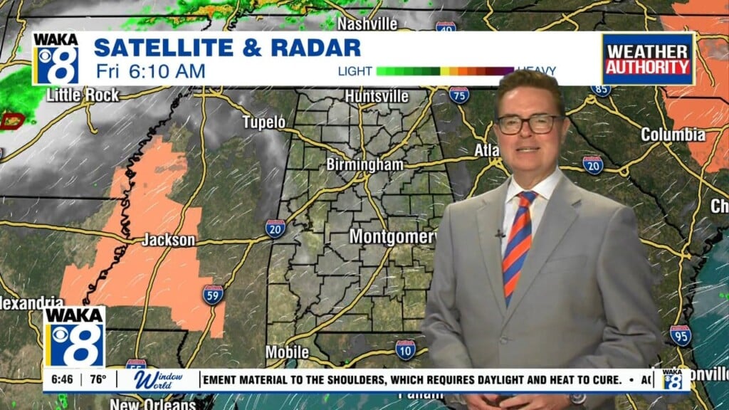
Click here for more from WAKA.