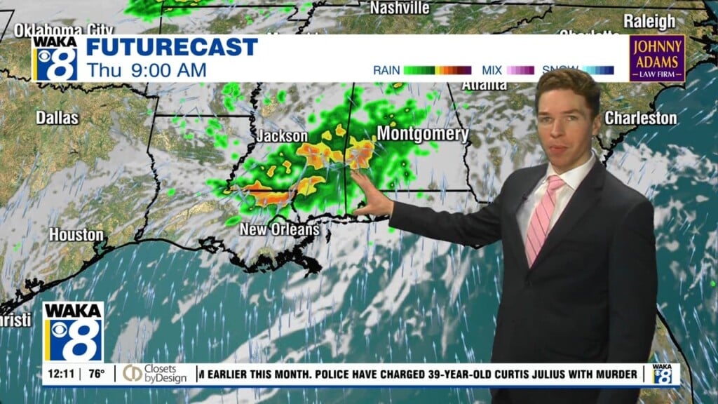
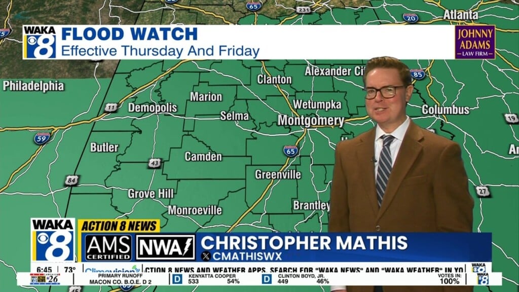
Heavy Rainfall And Severe Storms Likely Late Week
The first tropical storm of the Atlantic hurricane season has formed over the northwestern gulf. Tropical Storm Arthur will be a short lived tropical system but still have some significant impacts across the deep south including our area. Periods of heavy rain and t-storms are likely Thursday and Friday. Rainfall potential will range between 3 to 6 inches on top of what we’ve already received this week. A flood watch is in effect for the area. We stress that you never drive through water covered roadways. TURN AROUND DON’T DROWN!
There’s a severe storm threat both Thursday and Friday. The circulation around the tropical system could produce severe storms Thursday. A front boundary moves into the area and may stir up another round of severe storms Friday. Both days are under a marginal risk (level 1 out 5) for severe storms. The main threats will damaging wind gust up to 60 mph and a few quick spin up tornadoes.
We expect to be on the backside of all the persistent heavy rainfall over the upcoming weekend. Scattered showers and t-storms will be possible but the persistent rainfall will be to our east and moving away. There are signs we move back into a hot weather pattern with fewer showers and storms around early next week.