Temps Soaring Into The Upper 90s Soon
Another round of scorching summer heat is just a few days away! Temps will manage the mid to upper 90s for highs early next week. I will feel more like 100 to 107 when you factor in the humidity. It’s going to be dangerous heat and caution is advised during the peak heating hours.
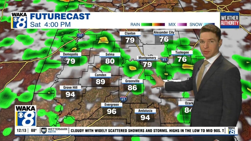
A frontal boundary hovers over the northern part of the state this weekend. The boundary will be the focal point for rain activity. We expect scattered showers and t-storms will be possible through Sunday afternoon. Temps will continue hot with highs in the lower to mid 90s. The ole dreaded heat index will range between 100 to 105 degrees.
Early next week, we expect little if any rain activity but more in the way of heat! High pressure will dig in and temps will soar into the mid to upper 90s. It’s going to be some of the hottest temps we’ve dealt with all summer.