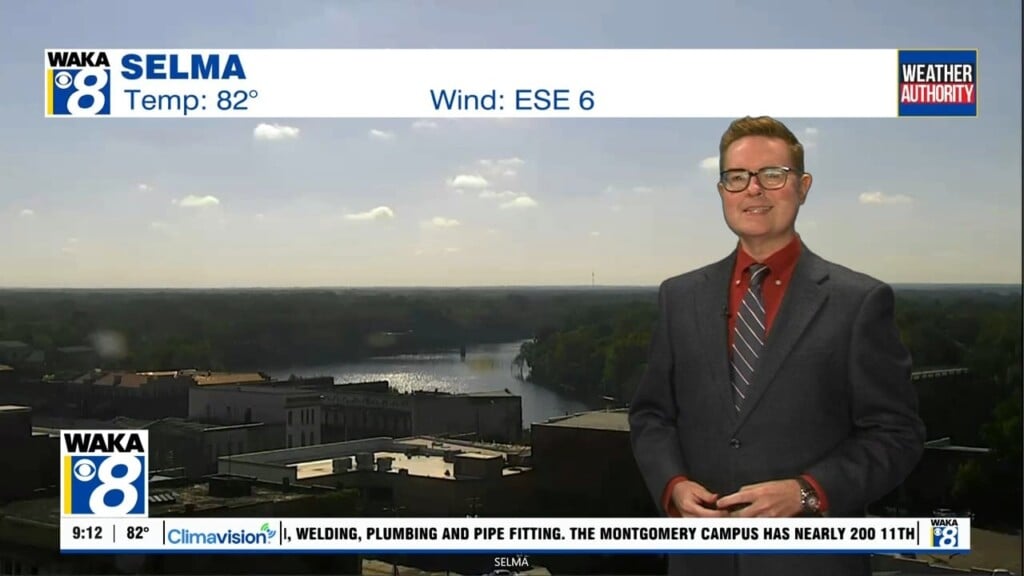
Heat advisory Monday, Tuesday; Not as hot for the rest of the week
A heat advisory includes all of central and south Alabama Monday and Tuesday. However, morning clouds and rain/storms kept temperatures in the low to mid 80s for many through midday Monday. Because of that, high temperatures may only be in the low 90s with peak heat indices near 100° Monday. Otherwise, sunshine increases as the sky becomes partly cloudy. Additional isolated showers or storms appear possible.

As long as Tuesday morning remains dry with sunshine, high temperatures may approach 100° Tuesday afternoon. Meanwhile, heat index values could be as high as 110°. Only isolated afternoon showers or storms appear possible. However, the intense heat backs down for the rest of the week. A cold front approaches our area Wednesday. Showers and storms become widely scattered with high temperatures in the mid 90s.
Temperatures reach the mid 90s again Thursday, but high temperatures may be back in the mid 90s this weekend. The Wednesday front stalls across the southeast late this week and weekend, providing a focus for showers and storms. Rain coverage becomes at least widely scattered Saturday, and scattered Sunday. Showers and storms become at least widely scattered for the first half of next week too, while high temperatures remain in the low 90s.