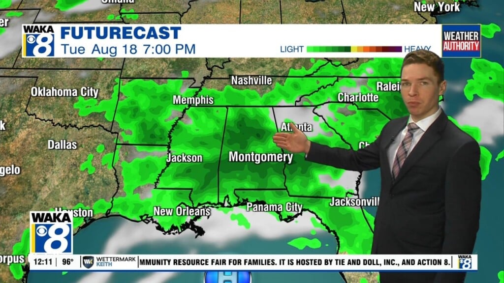
Heat advisory, near-100° heat, limited rain coverage this weekend
Temperatures surged into the mid and upper 90s with heat indices close to 110° early Friday afternoon. Fortunately, heavy storms formed around the same time, mainly across the northeast part of our area again. That took a big bite out of the the heat in some locations. However, some storms were capable of damaging wind gusts. A severe thunderstorm warning was issued for Coosa and Tallapoosa counties during the 1PM hour.
A heat advisory continues through at least 9PM Sunday for central Alabama, and until 8PM Saturday for southwest Alabama. However, heat advisories likely extend into next week, as high temperatures likely remain in the upper 90s through Friday. Meanwhile, heat index values peak near 110° each afternoon. Afternoon/evening shower/storm coverage likely remains isolated this weekend.
Longer-range models still indicate a front approaches the southeast next Tuesday into Wednesday. The front stalls and fizzles out around the middle of next week, so cooler or drier air for our area looks unlikely. However, the front may increase rain coverage Tuesday into Wednesday. Although, rain coverage may become isolated again late next week into next weekend. Temperatures may finally trend lower into the mid 90s next Saturday and Sunday.