Lower Rain Chances And Hot Days Ahead
TODAY: At face values, temperatures today are typical for this time of year, even with some places below average. However, heat index values have soared well over 100 in most spots, with a few places nearing 110. Rain and storms have been starting to fire up in west Alabama, which will bring heat relief to some areas. However, most of the area is not expected to see much rain at all.
TONIGHT: Rain and storms are expected to clear out throughout the night, as well as decreasing cloud cover. Expect lows tonight in the low to mid 70s, and with lower cloud cover, it will not be as muggy.
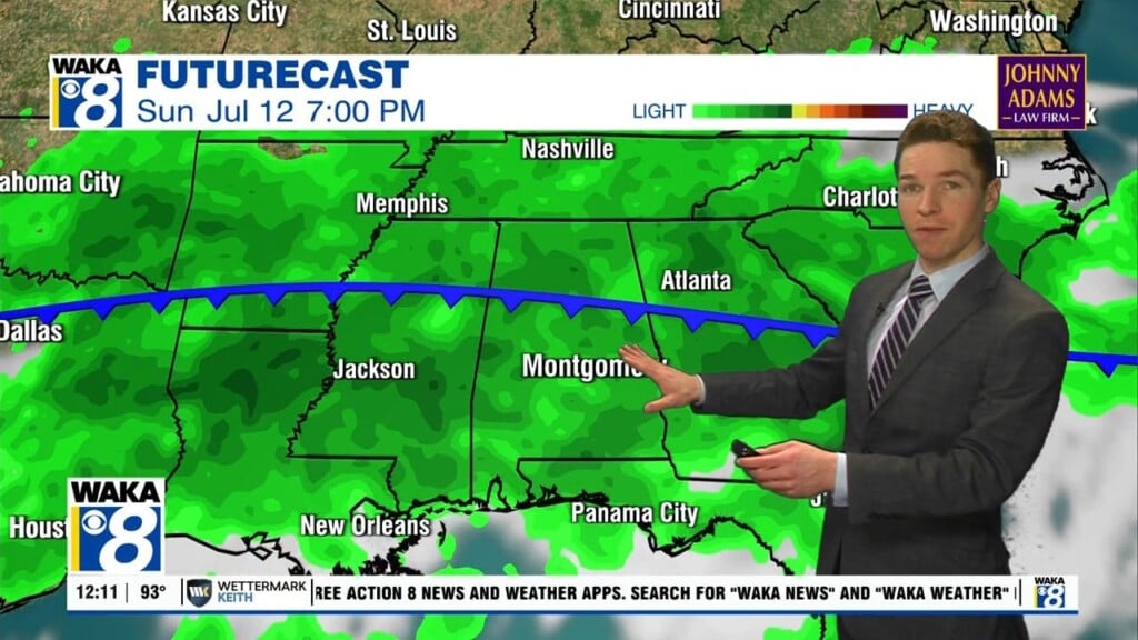
TOMORROW: Temperatures are expected to trend slightly upwards, while rain chances start to trend slightly downwards. Highs will be in the low to mid 90s, but heat indices are expected to climb in the 100s, with some places nearing 110. A Heat Advisory may be put into effect.
8 DAY: Monday and Tuesday are two similar days, with high temperatures in the mid 90s across most of the area. Rain chances will remain relatively low these days. As the middle of the week comes, rain chances will be on the increase while temperatures will be trending back below average. Temperatures will hold steady below average slightly for the rest of the week, and rain chances still remain relatively low.
TROPICS: The tropics are seeing a slight lull in activity, but there is still an area of interest that the NHC is monitoring.

The area from the western coast of Africa to the Gulf of Mexico is known as the “Main Development Region,” and is expected to become active as we transition into September. August and September are usually the most active months for tropical development.