Some Strong Storms Possible Today
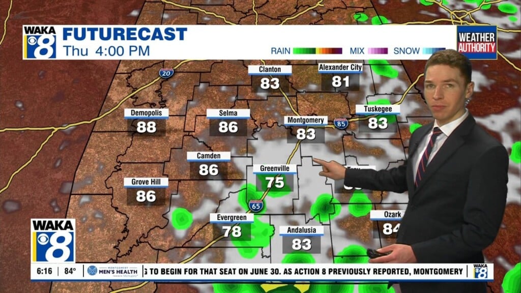
STORMS IN THE FORECAST: As we roll through the next 36 hours, we are going to see a couple of rounds of strong to potentially severe storms that could impact Alabama. Today, we are going to see a deep surface low move across the Great Lakes, between Chicago and Detroit. This low will have a trailing cold front across the Mississippi River Valley down into eastern Texas. In the upper-levels, a strong trough will provide support, while at the surface, unstable air will be moving in behind the warm front lifting north today. Temperatures this afternoon are likely to be climbing into the 70s across South/Central Alabama in many places. Along the front to our west, thunderstorms are developing and then move into Northwest Alabama late this morning. These showers and storms will persist into the afternoon and evening hours and some of these could pack a punch. While there will be a fair amount of shear across Alabama, instability values will be relatively low and this is not the classic severe weather setup for Alabama, but there is enough of threat to mention as we are expecting to see a few strong to severe storms.
The SPC has nearly the entire state of Alabama in the standard “slight risk” of severe thunderstorms today.

For Alabama, the main window for strong to severe storms will come from around noon, through the afternoon, and into the evening hours, around 6 or 7PM. The primary threat will come from strong straight-line thunderstorm winds and hail. The tornado threat is low, but not zero, and of course, more very beneficial rains are possible with many of us receiving one-half inch to one inch likely. We are not expecting any flooding issues.
MORE STORMS WEDNESDAY: The air mass will not change all that much from Tuesday and into Wednesday. As the surface front pushes into and through the state, the front will provide ample uplift for the unstable air mass in place, and another round of strong to severe storms will be possible. For Wednesday, the SPC has the much of Alabama in a “marginal risk” of severe storms.

Wednesday’s temperatures will once again be well in the 70s, and we will have higher instability values, but the shear will be lacking, and the wind fields will actually be unidirectional and not especially strong. The main threat from storms Wednesday will come from damaging straight-line winds gusts, and though the tornado threat is very low, it is not zero.
FROPA: The cold front will pass through the area late Wednesday, and that will bring a new air mass into the state. Thursday, expect a clearing sky, with breezy conditions and colder weather. Temperatures Thursday will only be in the lower 60s, and with a brisk north wind, it will be feeling much colder. We drop into the lower 30s early Friday. Then, Friday will be sunny and cool with a high in the lower 60s again.
GREEN COMET APPROACHES EARTH: This week, a small green comet named “45P/Honda-Mrkos-Pajdusakova” (45P for short) is approaching Earth for one of the closest comet flybys of the Space Age. On the nights around Feb. 11th, Comet 45P will be an easy target for binoculars and small telescopes, revealing itself in eyepieces as an emerald colored fuzzball.
WONDERFUL WEEKEND WEATHER: A ridge builds in over the Southeast and the weather will be noticeably warmer, especially Saturday. Our winds shift back from the south and with higher thickness values and a partly sunny sky, we will climb towards the mid 70s Saturday afternoon. Clouds begin to increase again on Sunday, as our next storm system approaches. There could be a few showers over North Alabama Sunday afternoon, but most of Central Alabama should be remain dry. Sunday’s high will be in the mid 70s again.
INTO NEXT WEEK: Our better rain chances arrive with the surface front that moves into the state late Sunday and Monday. Scattered showers are in the forecast Monday, and possibly Tuesday. Temperatures will be in the 60s for highs, while nights will be mild with 50s expected.
Stay weather aware today!
Ryan