Freeze Warning in Effect Tonight
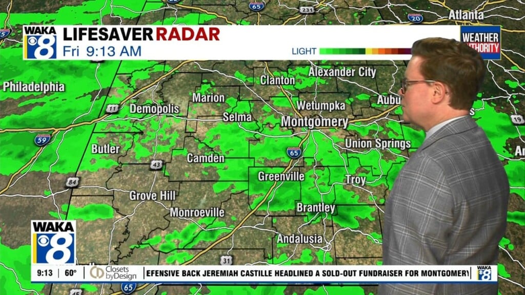
We had rain and storms overnight due to a cold front pushing through the state. he front clears the area early in the day and we will see a clearing sky, a breezy north wind, and cooler temperatures with highs in the low 60s today.
FREEZE WARNING TONIGHT: A cold night is ahead with a clear sky and a light wind, temperatures will fall into the lower 30s area wide which will allow for another freeze for many locations. The National Weather Service has issued another Freeze Warning for much of Central Alabama overnight.

Take steps now to protect tender plants from the cold. To prevent freezing and possible bursting of outdoor water pipes they should be wrapped, drained, or allowed to drip slowly. Those that have in-ground sprinkler systems should drain them and cover above-ground pipes to protect them from freezing.
Tomorrow and Wednesday will remain sunny and cool, highs tomorrow will be in the mid to upper 50s despite sunshine in full supply. Highs should return to the low 60s Wednesday. Wednesday morning should again feature lows in the lower to mid 30s.
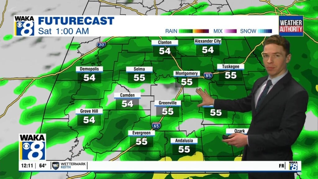
THANKSGIVING/BLACK FRIDAY: Thanksgiving looks to remain dry for much of the state with temperatures in the upper 60s. Through the day, clouds should increase ahead of our next front that will bring rain back to the area later Thursday and early Friday. Again, this is a rain event, probably no thunder, and certainly no severe weather. Friday will feature a clearing sky an cooler temps with highs in the upper 50s.
IRON BOWL WEEKEND: The sky will be sunny on Saturday with highs reaching the lower 60s. Then, skies will be mostly sunny on Sunday with highs in the lower to mid 60s. Expect lows in the 30s.
Have a marvelous Monday!!!
Ryan