Flooding and Tornadoes Remain a Threat
ay as there will be a for quick, spin-up tornadoes. As Cindy moves inland today, shear values will rise significantly, and we will have the risk of a few isolated tornadoes at anytime. Tornadoes associated with a tropical system tend to be short-lived, and mostly in the EF-0/EF-1 category. But, they are still dangerous. We need to stress it is very challenging to issue warnings for these tornadoes since many of them last only for a few minutes, and due to the low topped nature of the convection, they are often “under the radar” and not detectable. Just pay very close attention to the weather and be aware of this possibility.
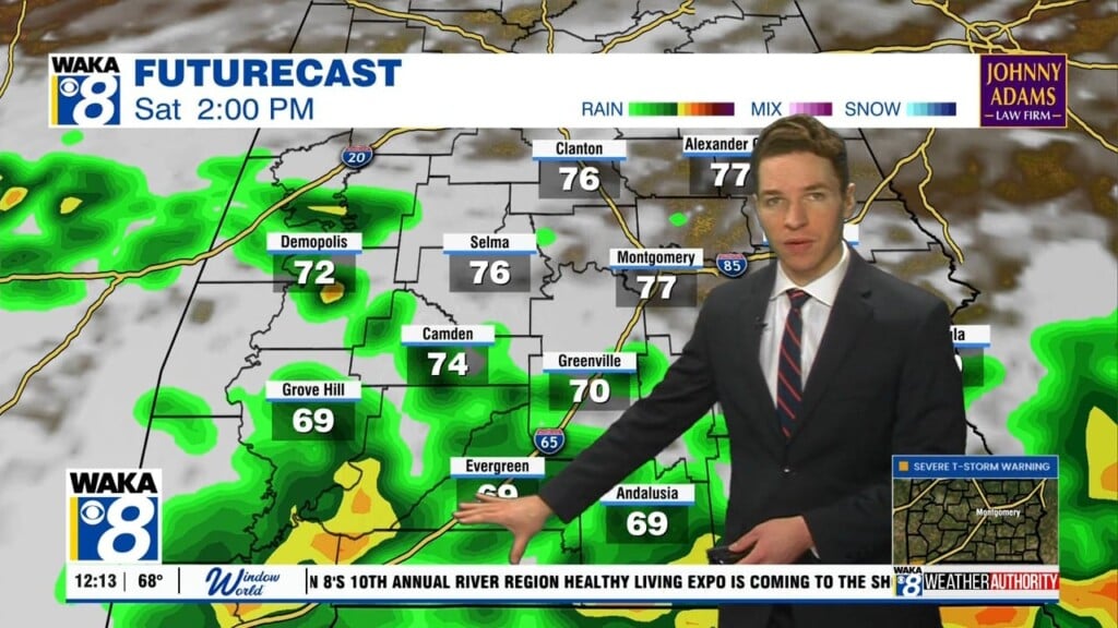
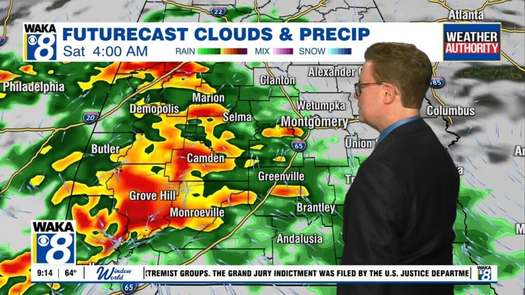
TOMORROW: Severe weather will be a threat again tomorrow, especially the northwestern portion of the area with a threat of tornadoes once again as the remnant low tracks to our northwest. Much like today, any tornadoes will be very hard to detect. Expect rain and storms at just about anytime, and highs will be back in the 80s.
THE ALABAMA WEEKEND: Better weather returns, but showers and storms remain possible through the day Saturday across Alabama. It won’t be a continuous rain, and the sun will be out at times. A few showers and storms are still likely Sunday, but drier air creeps into the state Sunday and we should begin to see increasing amount of sunshine. Highs over the weekend will be in the low to mid 80s.
A CHANCE TO DRY OUT: Finally dry air will arrive and cover the northern half of the state, and for now there is a good chance we will be rain-free Monday through Wednesday with lower humidity; highs will be in the 80s and lows in the 60s.
Stay weather aware!
Ryan


