More Rain and Storms to End the Month of June
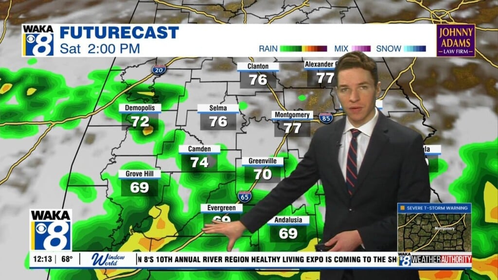
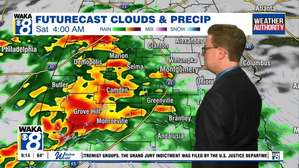
FINAL DAY OF JUNE: Hard to believe we are already half-way through 2017, and for the last day of June, no real change in the forecast today. Another upper-level will bring fairly widespread rain to Alabama today, and we are starting the day off with rain again. Rain/storms will continue into the afternoon hours, but it does appear we are going to see the rain wind down during the afternoon hours, and there is the potential for some sunshine and actually tomorrow evening and night look dry. Highs will be in the upper 80s for most communities.
THE ALABAMA WEEKEND: Little change in the air mass as we head into the weekend, but we are not going to have the upper-level uplift enhancement for widespread rain and storms, so though we will keep rain chances in the forecast, the rain will not be as widespread and should be more typical of summer in Alabama. Greatest coverage of rain and storms will come during the afternoon and evening showers both days as rain chances are going to be in the 40-50% range. Despite these rain chances, we are still expecting a mix of sun and clouds with highs in the lower 90s both days.
TROPICAL UPDATE: The Atlantic is clear and no tropical systems are expected to develop through the upcoming weekend. In the eastern Pacific, there are no storms either, and actually at this time, there are no active tropical cyclones anywhere around the globe, which is a little odd.
THE FIRST WEEK OF JULY: Routine summer weather is expected to continue next week and for the Independence Day holiday. Expect partly sunny, humid days with the daily round of scattered afternoon and evening showers and thunderstorms as rain chances will be in the 35-45% range each day. Highs will be mostly in the mid to upper 80s each day, and we should see lower 90s in some spots as well.
Have a fantastic Friday and wonderful weekend!
Ryan


