Rain Chances on the Way Up
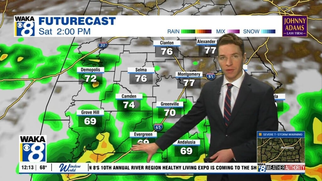
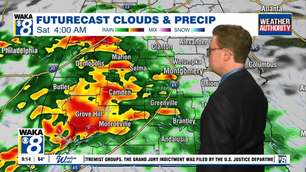
TODAY/TOMORROW: A weak frontal boundary will drop into the state from the north, and we are going to increase rain chances these two days. Rain and storms will be possible at anytime, but the greatest coverage comes during peak heating of the day, afternoon and evening hours. Both days will feature a mix of sun and clouds when it is not raining, and temperatures will be in the lower 90s.
TROPICAL UPDATE: Our fourth Tropical system of the year has developed. At 500 AM AST the center of Tropical Depression Four was located near latitude 13.2 North, longitude 40.0 West. The depression is moving toward the west-northwest near 16 mph. A continued west-northwestward motion with an additional increase in forward speed is expected over the next 48 hours. Maximum sustained winds are near 30 mph with higher gusts. Little change in strength is forecast during the next 48 hours, and the depression is not currently expected to become a tropical storm. The estimated minimum central pressure is 1008 mb (29.77 inches).
THE ALABAMA WEEKEND: For the weekend, no major change in the pattern and we are going to stick with the standard summer forecast. Hot and humid days, muggy nights, with a mix of clouds and sun. Of course, scattered afternoon/evening showers and storms are expected. Afternoon highs in the upper 80s are expected.
FOR NEXT WEEK: The weather looks very warm and humid with highs in the 87-91 degree range each day. We are forecasting a mix of sun and clouds, and each day will bring the threat for showers and storms mainly during the afternoon and evening hours. Like we see each day, there is no way of knowing when and where showers and storms will develop, just know the threat of a heat-relieving shower/storm is possible each day…must be summer in Alabama.
Stay cool today!
Ryan


