Warmer, Wet Week of Weather
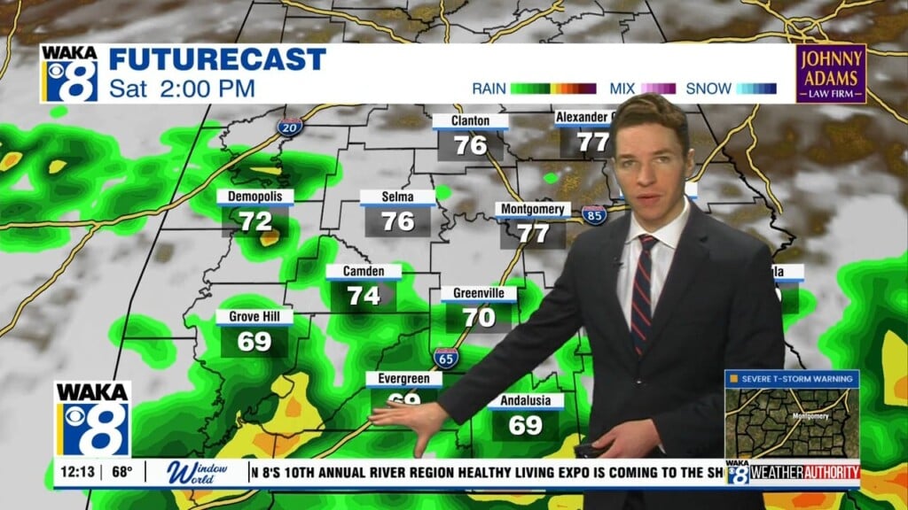
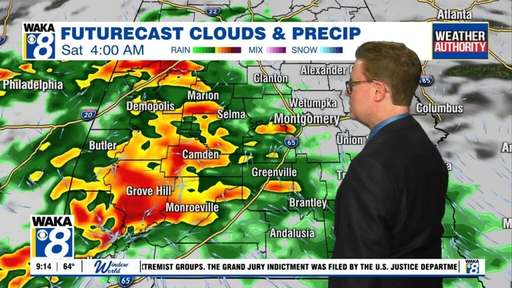
WARMER, BUT WET DAYS AHEAD: First off, we are starting to new week off on a foggy start in many areas, so please use caution out and about this morning as a dense fog advisory is in effect until 9AM. Most locations this morning are in the 50s, but we should see temperatures climb into the 60s and lower 70s this afternoon as a weak warm front lifts north today. We are going to maintain a mainly cloudy sky with scattered showers. The warm front will stall to the north of the area, which will put much of Alabama in a warmer, and moist air mass. For Tuesday and Wednesday, we are going to be watching several upper-level features tracking across the state along the frontal boundary and these will bring the threat of showers and storms both days, and on Wednesday, we note that the SPC has highlighted much of Central Alabama in a “marginal risk” (level 1 out of 5) for severe storms. Temperatures should be in the 50s for lows with mid and lower to mid 70s during the afternoons. Between now and Wednesday evening, many locations in North/Central Alabama could receive 1-3 inches of rain.
GEOMAGNETIC STORM IN PROGRESS: A G1-class geomagnetic storm is underway on Dec. 17th as Earth moves into a stream of solar wind. The gaseous material is flowing faster than 600 km/s from a hole in the sun’s atmosphere. G1-class storms are relatively minor and have little effect on power grids and satellites. However, they can confuse migratory animals that navigate using magnetism at high latitudes and, moreover, may spark bright auroras around the Arctic Circle.
DRY THURSDAY: This will be the one day of the week where the threat of rain is not expected. We will be in between systems and should have enough of a break in the action to see some sunshine and give us a chance to dry out. Enjoy it because it will be short-lived as our next system will be taking shape to our west. We should see a mix of sun and clouds with afternoon temperatures in the upper 60s and lower 70s for South/Central Alabama.
MORE RAIN TO END WEEK: A low pressure develops over the Plains and lifts northeast across the Midwest and swings a cold front into Alabama on Friday. Rain chances return to end the work week and we may have to deal with a few storms as well, but with the dynamics so far north, it doesn’t look like severe weather will be an issue, but we are going to be watching things the next several days. Highs Friday should once again be in the 70s. As the front moves into the state, the models have showed it stalling across central portions of the state. This means, that we are going to have to keep the chance for wet weather into the weekend as well. The colder air behind the front looks to stay just to our northwest, so we are going to stay mild with 60s for highs. Scattered showers will remain in the forecast for Christmas Eve Sunday as well.
CHRISTMAS SNEAK PEEK: One week away from the holiday and Christmas Monday, and we are also going to have to maintain a rather gloomy forecast with clouds and the threat of rain for the state. There remains too much model madness a week out with some runs showing cold temperatures while others show mild temps. We will continue to adjust the forecast as we head through the week.
Have a great day!
Ryan


