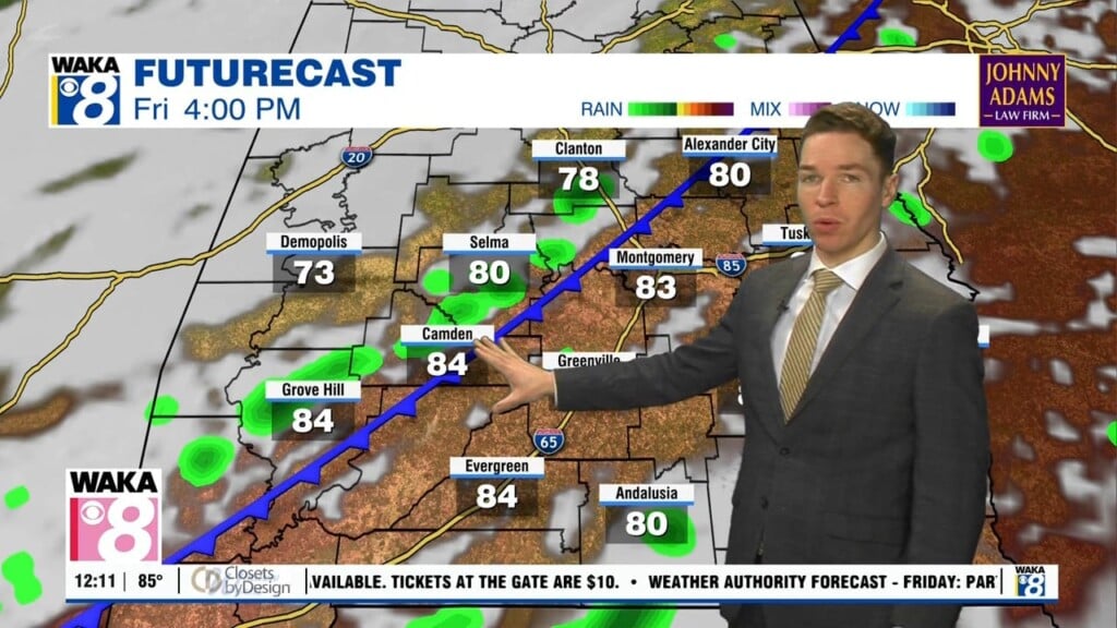
Dry through Friday, some rain possible by the end of this weekend
Wednesday afternoon looks partly to mostly sunny and dry. High temperatures range from the mid to upper 80s with a northeast wind of 5 to 10 mph.
Monday looks like another mainly dry fall day, with a partly to mostly sunny sky and high temperatures near 90°.
Sunday looks partly to mostly sunny and mainly dry, with high temperatures near 90° again.
Fall begins Monday, but temperatures remain rather warm, with highs in the low 90s. The sky remains partly to mostly sunny, with only a stray afternoon shower or storm possible.
Sunday certainly looks like a classic summer day, with high temperatures in the low 90s, and isolated to widely scattered showers and storms during the afternoon.
High temperatures range from the low to mid 90s Saturday and Sunday. The sky remains partly to mostly sunny with isolated showers and storms each afternoon.
High temperatures range from the low to mid 90s Thursday afternoon. The sky remains partly to mostly sunny, with perhaps a brief, stray shower or two.
Temperatures likely remain in the low 90s Wednesday afternoon, with a partly to mostly sunny sky. Wednesday night looks mostly clear and mild with low temperatures in the mid to upper 60s.
Our third week of September looks mainly dry and warm again, with a mostly sunny sky and no chance for rain through Thursday.
Saturday night looks mild again, with lows in the low to mid 60s. Sunday looks partly to mostly sunny and dry, with high temperatures in the upper 80s to low 90s.