Heat advisory through the Fourth of July, rain chance rises Sunday
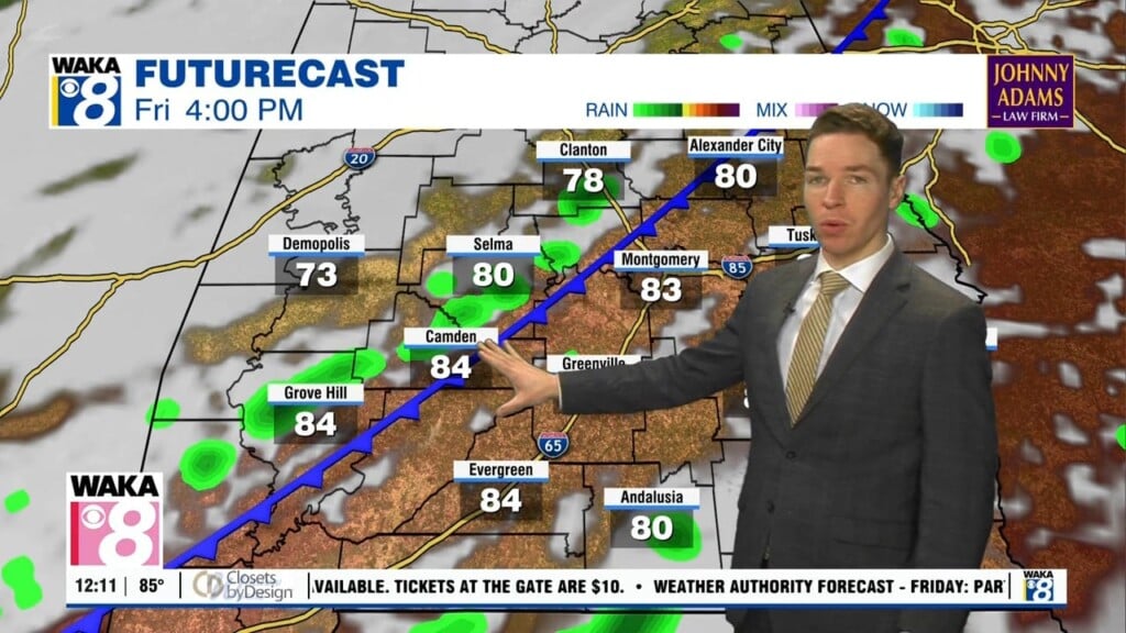
A heat advisory continues for central Alabama through at least Independence Day. Heat indices peak near or above 105° again on Friday and Saturday afternoon.
A heat advisory continues for counties in our area generally along and north of highway 80 through 9PM Thursday. Heat indices may approach or exceed 105° again on Thursday afternoon.
A marginal (level 1/5) severe risk continues for our area Tuesday evening. One or two storms may produce a damaging wind gust.
Afternoon/evening showers and storms return Tuesday. A few storms may become strong to severe, capable of damaging wind gusts up to 60 mph. A marginal (level 1/5) severe risk covers our area Tuesday.
At midday Wednesday, a spinning feature known as a mesoscale convective vortex was located near Meridian, Mississippi. That feature tracks east into our area Wednesday afternoon, and becomes the focus for shower and storm development.
A “cold” front pushed through our area Tuesday. It likely stalls near the north gulf coast Wednesday and fizzles out Thursday. While temperatures remain a bit cooler Wednesday and Thursday, lingering humidity still fuels some showers and storms.
Additional showers and storms may develop along a front and track through our area Monday evening/night. If so, they may be capable of strong wind gusts.
While widespread flash flooding may not occur this weekend, scattered showers and storms Saturday and Sunday could produce a quick 1-2″ of rain. That may cause localized flooding due to the now saturated soils.
The main weather hazard for the rest of Thursday evening now shifts to more heavy rain. That may lead to additional flash flooding, or worsen ongoing flooding.
A flood watch begins Thursday morning for central and south Alabama, and continues through Friday evening. Additionally, a marginal (level 1/5) severe risk covers all of central and south Alabama Thursday.