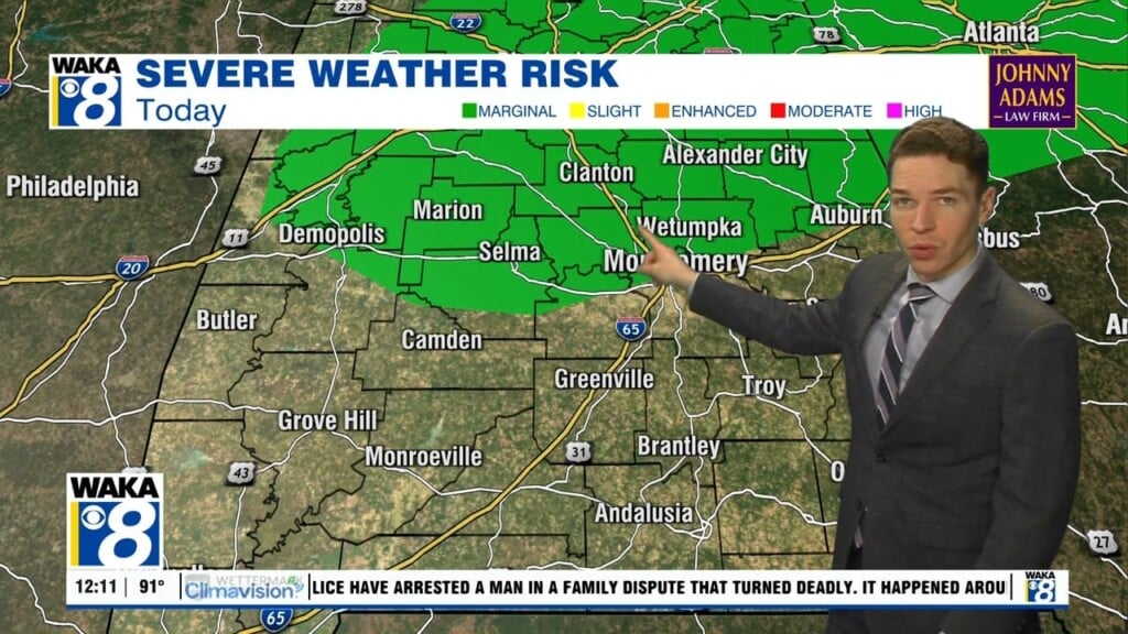
A few severe storms possible Tuesday, fall air arrives late this week
Tuesday morning was mainly sunny and dry with temperatures gradually warming to near 90° at midday. However, isolated showers and storms formed around noon in far southeast Alabama. That cooled locations like Troy, Andalusia, and Opp into the 70s early in the afternoon. Additional showers and storms form through Tuesday evening. Otherwise, the rest of the day looks partly cloudy and hot with highs in the low 90s and heat indices near 100°.
A few storms may become severe Tuesday, capable of damaging wind gusts. The Storm Prediction Center (SPC) places a MARGINAL (level 1/5) severe risk area across central Alabama, near and north of highway 80, through Tuesday night. While storms linger into Tuesday evening, Tuesday night ultimately becomes mainly dry with a clearing sky and lows in the low 70s. Wednesday looks like another partly cloudy day with isolated storms and highs still in the low 90s.