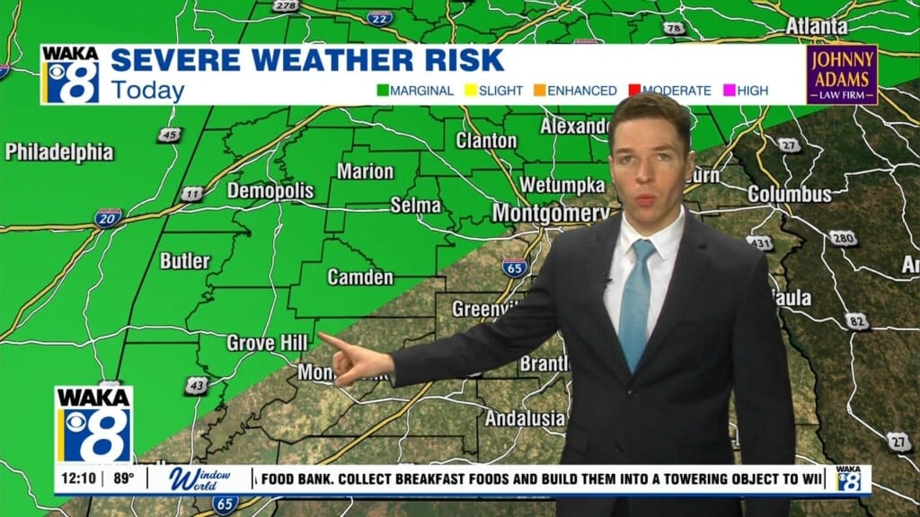
More summer heat; A few severe storms possible Monday, Tuesday
Monday morning was mainly sunny and dry, but isolated showers and storms formed west of I-65 during the first hour of the afternoon. Meanwhile, temperatures were in the upper 80s to low 90s with heat indices near 100° by midday. Rain coverage remains widely scattered Monday afternoon, which means some locations stay hot, humid, and rain-free for the rest of the day.
High temperatures range from the low to mid 90s with peak heat indices in the low 100s. However, a few of Monday’s storms may become severe, capable of damaging wind gusts. A MARGINAL (level 1/5) severe risk covers the northwest part of our area. Some showers or storms linger into the evening, but Monday night becomes mainly dry with a clearing sky and lows in the low 70s.

Summer heat continues even as fall begins Tuesday. High temperatures range from the low to mid 90s with higher heat indices. Rain coverage becomes widely scattered during the afternoon. A few storms may become severe again, mainly near and north of highway 80, where the storm prediction center places a MARGINAL severe risk. Some showers or storms may linger into the evening, but Tuesday nigh again becomes mainly dry with lows near 70°.