Ending May Hot, Humid With Some Showers, Storms
Some call Memorial Day the “unofficial start to summer” and Monday’s forecast certainly looks summer-like.
Some call Memorial Day the “unofficial start to summer” and Monday’s forecast certainly looks summer-like.
Friday evening and overnight look nice and quite cool for this time of year. Lows fall into the upper 50s to low 60s as the sky becomes clear.
A few storms may become strong to severe Thursday afternoon, capable of damaging wind gusts up to 60 mph, hail up to quarter (1″) size, and a brief tornado or two.
Monday afternoon remains mostly cloudy with redeveloping showers and storms. Temperatures only warm into the upper 70s to low 80s due to the clouds and rain.
Friday looks like another partly cloudy, hot, and humid day with highs in the low 90s for many.
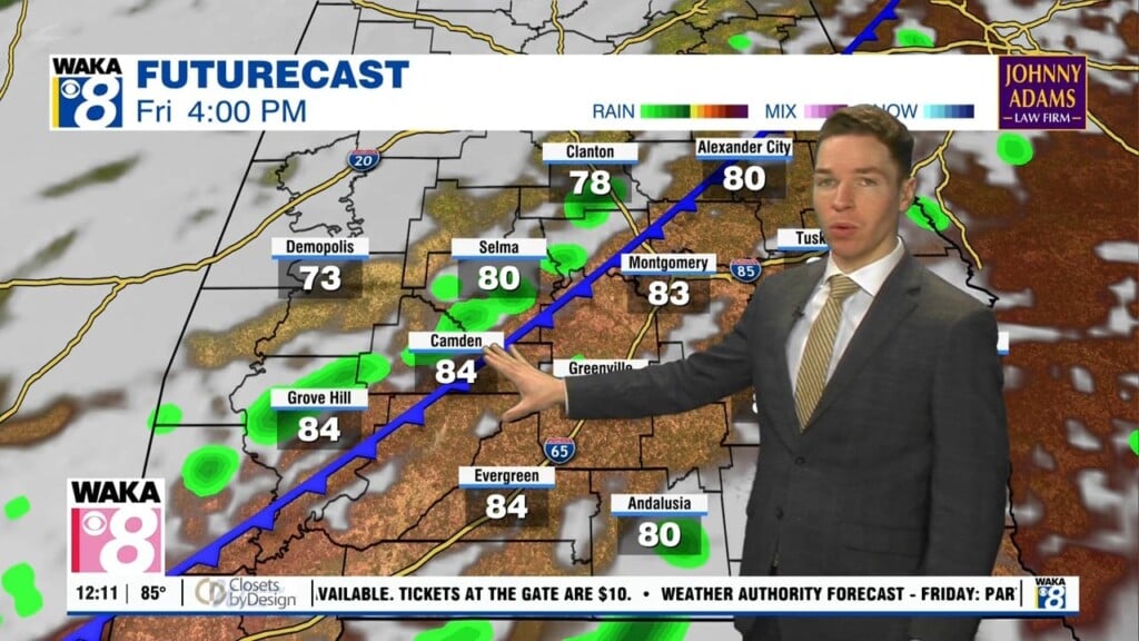
Plenty of heat and humidity highlight Friday’s forecast. However, isolated showers or storms appear possible during the afternoon.
Temperatures peak in the low to mid 90s Wednesday afternoon, well above normal for this time of year.
Tuesday afternoon looks sunny with a few clouds in the mix. Despite a cold front now located to our south, afternoon temperatures warm to around 90°.
Some showers or storms may develop Monday afternoon in advance of a cold front. Rain coverage looks low with only isolated storms.
A few more showers or storms could form through early Friday evening. Locations in far south Alabama have the best chance to see one.