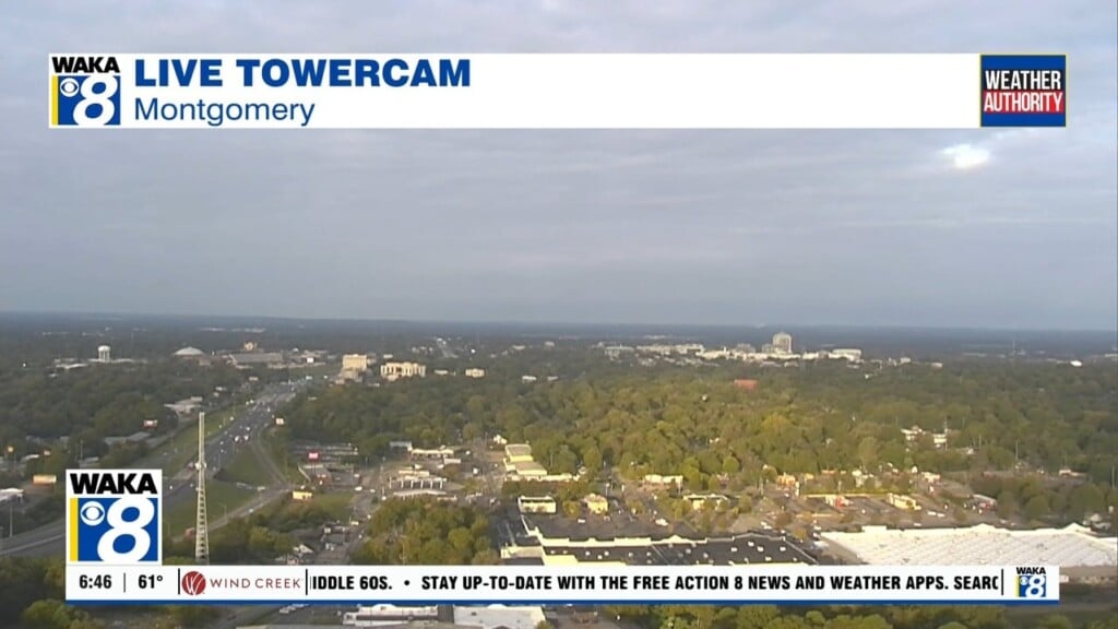
Unusually warm afternoons will continue through Friday
Much cooler air is expected for the upcoming weekend

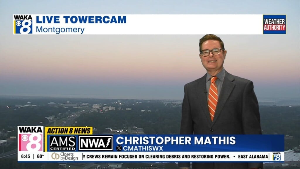
Action 8 Weather Authority Meteorologist Christopher Mathis brings you the forecast on Action 8 News Rising from 4:30-7AM weekday mornings. He joined WAKA in May 2024.
Chris is returning to his home state of Alabama, after spending more than twenty years forecasting the weather in Mississippi. A native of Jackson County in Northeast Alabama, Chris developed a strong interest in the weather, and a love for television, at an early age.
Chris is a proud graduate of the University of Alabama and makes the Crimson Tide a top priority during football and basketball seasons. He also enjoys traveling to scenic locations all across America when there’s time off from work.
Chris holds the National Weather Association’s Seal Of Approval, and is recognized as a Certified Broadcast Meteorologist by the American Meteorological Society.
Much cooler air is expected for the upcoming weekend
Afternoon temperatures are likely to reach or climb over 90 degrees through Thursday
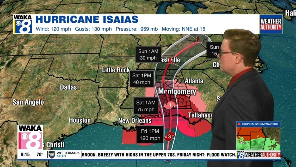
Hurricane-force winds are expected in some locations of South Alabama
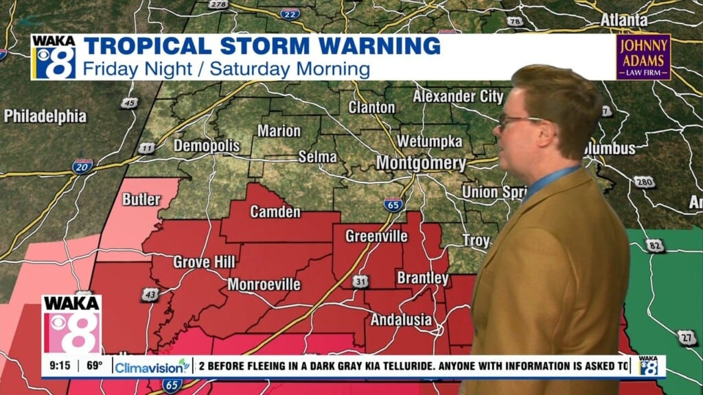
Hurricane Isaias should make landfall Friday evening near the Alabama/Florida border
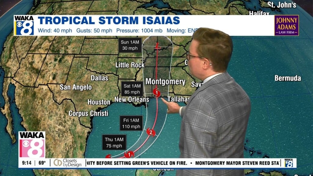
Rain bands will spread into Central and South Alabama during the day Friday
A developing tropical system is likely to bring rain this weekend
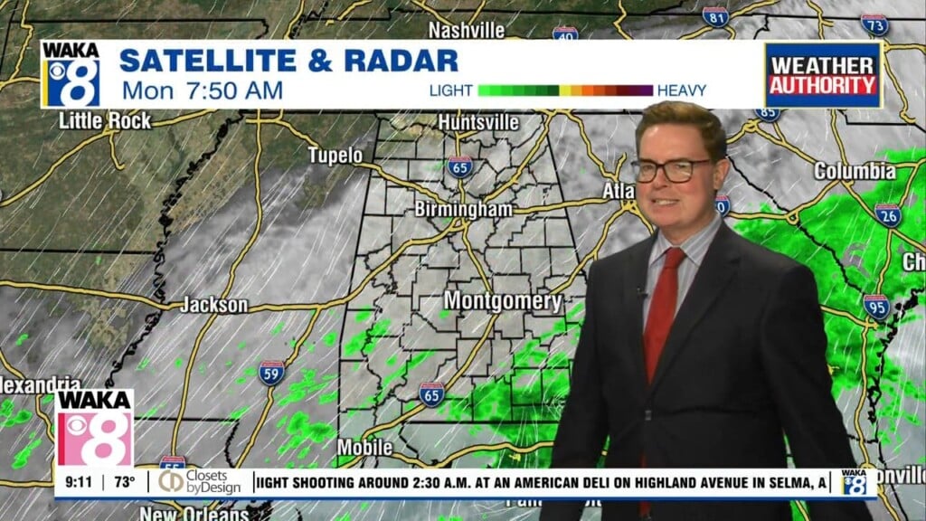
More rain could arrive for the upcoming weekend
Rain will be likely at times tomorrow and this weekend
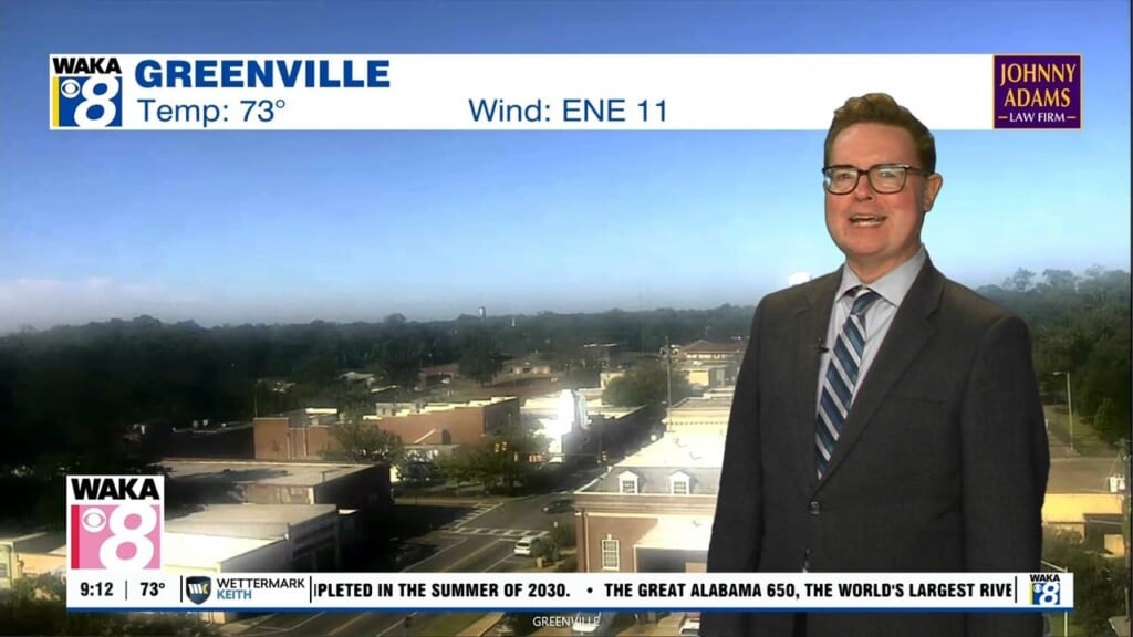
Most areas are likely to reach 90 degrees today and again tomorrow
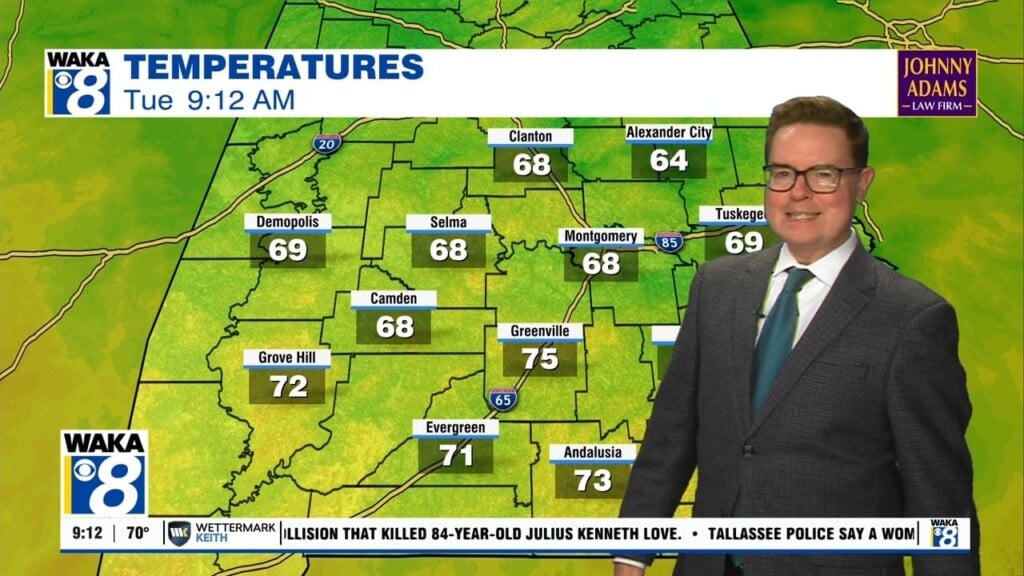
Montgomery dropped to 52 degrees early Tuesday morning, marking the city's coolest temperature of the Fall season to date