Noon Update: Warmer Days Ahead
FINE-LOOKING FRIDAY: To end the work week, expect a dry day with a good supply of sunshine, we will see a few more clouds in the Alabama sky; highs will be in the upper 60s to lower 70s.
THE ALABAMA WEEKEND: Starting Saturday, clouds increase during the day, and we will mention a chance of showers by late Saturday night. Moisture will be limited, so any rain amounts will be on the light side. The highs Saturday will be into the lower 80s for most locations. A weak boundary stalls out over Central Alabama Sunday, so a few showers will remain possible with more clouds than sun through the day. Highs will be in the mid 70s.
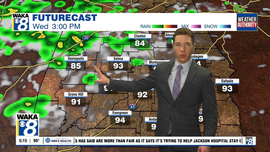
FOR NEXT WEEK: The week looks to start off chilly as a cold air damming/wedge front moves move in from the east. Monday looks cool and wet with periods of rain and temperatures holding in the 50s/60s all day. An upper ridge builds in on Tuesday, pushing the wedge out and Tuesday and Wednesday look dry with a warming trend as highs return to the 80s. Towards the end of the week our next storm system brings showers and storms by Thursday and Thursday night. Too early to tell if severe weather will be an issue, but it is that time of year.
Have a great day!
Ryan