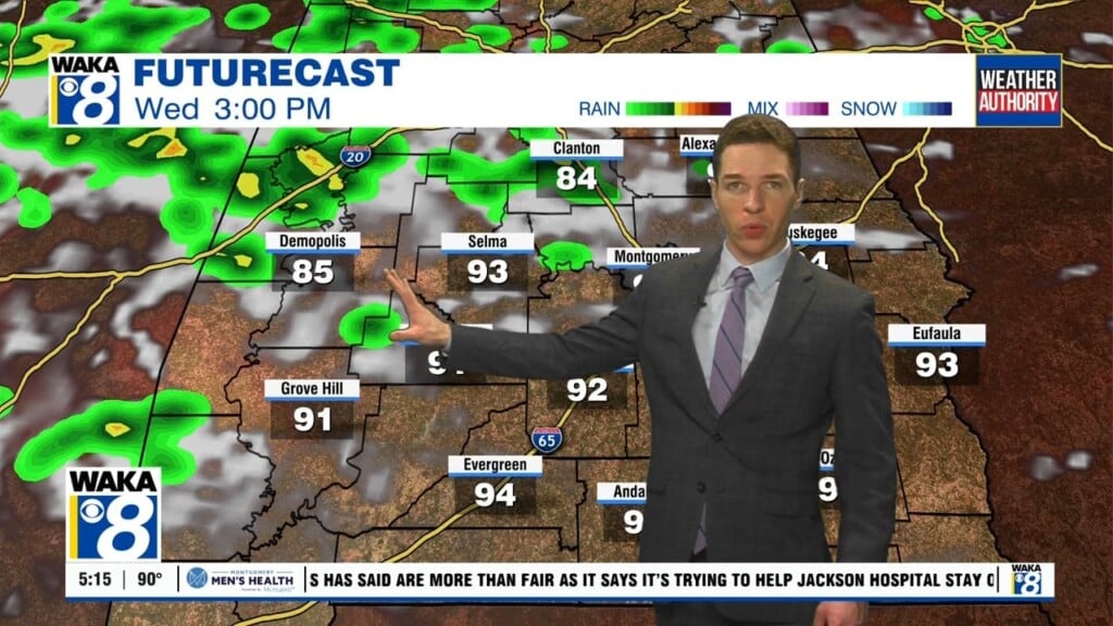
Very Warm Wednesday, Storms on Thursday
We are going to be warmer today upper 70s returns and lower 80s are expected our part of the state. It will be partly cloudy again with an isolated shower possible, but rain will become widespread over the northwest part of Alabama late tonight ahead of a cold front. Tomorrow will be wet and stormy statewide. We note SPC has defined a severe weather risk for a decent part of the state Thursday.

This doesn’t look like an overly impressive severe weather threat, but still it is that time of year and we have to watch any system like this in late March. Seems like the main window for stronger storms Thursday will actually come during the morning hours before dynamics weaken later in the day. Storms or not, a nice soaking is expected, which will be welcomed by many to help was away some of the pollen. Rain amounts should be close to one inch for most of Central Alabama.
VERY NICE EASTER WEEKEND: Friday will feature a clearing sky with a high in the 70s, and the weather rolling into Easter weekend continues to looks delightful. We are forecasting ample sunshine Saturday and Sunday with highs close to 80° both days.
NEXT WEEK: Rolling into the first week of April, the Monday and Tuesday look dry, but by midweek a cold front will bring a risk of showers Wednesday, and the pattern looks to remain a bit more active for the second half of next week as well. We will likely see the threat of rain and storms each day.
Have a great day!
Ryan