Weather Authority: Rain and Storms Roll Into Alabama
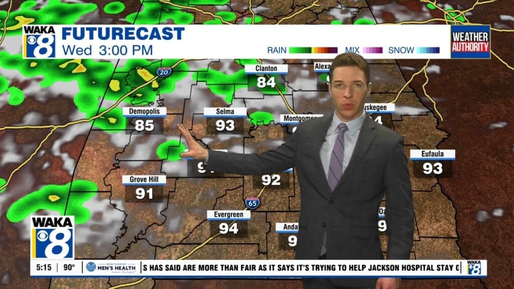
RAIN AND STORMS AHEAD: Rain and storms become widespread across the state today. With just about any storm system this time of year, we are going to have to watch as a few strong to severe storms that could be possible. Our friends at the SPC have much of Alabama highlighted in a risk for severe weather tomorrow.

There is a threat by the overall severe weather parameters are not ideal for this event; this is going to be a “low CAPE, high shear” situation with limited instability values and weak lapse rates. But, there will be enough shear for sustained updrafts and some storm organization, so we are going to have to watch things carefully. Of course, when it comes to storms in Alabama, always expect the unexpected.
TIMING: A strong storm is possible pretty much at any hour today, but the best chance of severe storms should come late morning and through this afternoon over South/Central Alabama.
THREATS: The main threat with the more intense storms will come from strong straight-line winds. Some small hail is possible and the tornado threat is low, but not zero. Rainfall totals should be around one inch with little to no flooding issues.
WONDERFUL WEEKEND WEATHER: Friday will feature a clearing sky with a high in the lower 70s, and the weather rolling into Easter weekend continues to looks delightful. We are forecasting ample sunshine Saturday and Sunday with highs in the mid 70s to lower 80s for both days.
NEXT WEEK: Rolling into the first week of April, Monday and Tuesday look dry, but there could be a few showers across the Tennessee Valley of Alabama. By midweek the front will bring a risk of showers and the chance of showers, and possibly a thunderstorms, will increase statewide over the latter half of the week.
Stay weather aware today!
Ryan