Noon Update: Weather Pattern a Bit More Active
THE WEEK AHEAD: Our Monday will feature mainly sunny conditions and highs in the lower 80s. To our west, an upper trough will be taking shape in the Northwest U.S. that will move quickly into the eastern Dakotas on Tuesday and eastern Great Lakes region by Wednesday. This will generate a surface low in that will track towards the Great Lakes by midweek and will cause a cold front into the Lower Mississippi River Valley at midday on Tuesday that will produce thunderstorms across the Southeast US from late Tuesday into Wednesday.
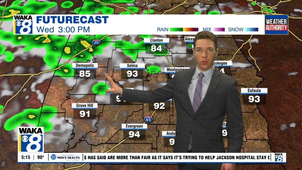
STRONG STORMS THIS WEEK: For Tuesday night and Wednesday we are going to have to deal with rain and storms. The primary dynamics remain north of Alabama, but CAPE values will increase Tuesday evening into Wednesday morning over 1000 J/kg range with fairly good shear across the northern half of Alabama. Helicity values are expected to range of 1 to 2, so severe weather is a possibility. At least for now, the primary threat appears to be that of damaging winds. As the upper trough moves into the Atlantic, the front sweeps out of the area in the latter half of Wednesday bringing an end to the precipitation. Wednesday will be a rather chilly day with temperatures during the day mainly in the 50s.
Rainfall during the next five days will once again present with a northwest to southeast gradient with around an inch in the northwest corner to around a half inch in the southeast corner.
COOLER WEATHER RETURNS: With the exiting front, Thursday morning the surface high settles in across Alabama. With northwesterly flow aloft, it looks like we could a later season cold snap for Thursday morning with lows in the upper 30s and lower 40s.
FRIDAY AND THE WEEKEND: Friday should be dry with little change to the pattern, but a short wave trough moving across Texas on Friday and into Mississippi on Saturday promises to bring us a wet start to next weekend with a broad low pressure area along the Central Gulf Coast. This poses another potential scenario for a round of severe weather for next weekend. Friday should be a bit warmer with highs in the lower 70s while Saturday could be cooler with highs in the 60s. Temperatures next Saturday will depend on strength and position of the surface low.
LONG RANGE: In the land of voodoo, the upper ridge becomes strong around the 9th of April signaling a fairly warm period. The GFS projects a strong trough coming into the Lower Mississippi River Valley on the 11th of April which definitely has a severe weather look to it. But the upper ridge returns strongly around the 15th of April.
Have a great day!
Ryan