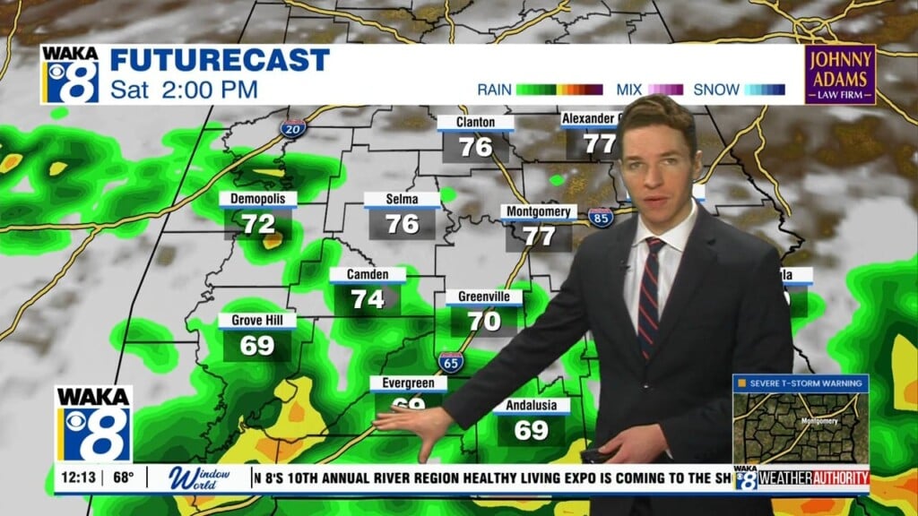
Periods Of Showers & T-storms This Weekend
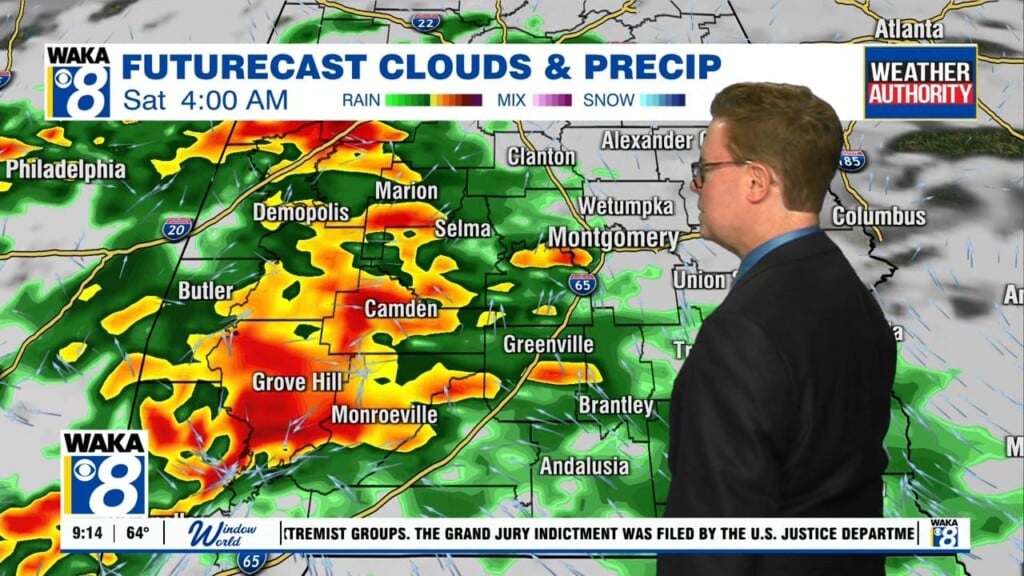
An active weather pattern has returned and it will be in play throughout the weekend and into Monday of next week. Several rounds of rain and t-storms will be moving through the area. We could be looking at an additional 1 to 2 inches of rainfall.
The storms that do move through here could be strong to possibly severe at times. The main threats will be damaging wind gust and hail. Temps should top out in the upper 70s to around 80 degrees Saturday afternoon and in the lower 80s Sunday. We expect additional showers and t-storms to pass through along and ahead of a frontal boundary Monday. This will be the last in a series of rain makers with drier conditions returning Tuesday.
High pressure will build in behind that frontal passage on Monday. Our sky becomes sunny and we’re drying out for several days. Temps will be warming and reaching the lower to mid 80s for highs throughout the week.