Rain Chances Increasing Over The Upcoming Weekend
The heat continues to send our temps into the 90s and this will be the case through at least Sunday. We’re expecting lower to mid 90s for highs with heat indices around 100. Those scattered showers and t-storms will still be possible each afternoon but not everyone will benefit from them. A better coverage in rain activity is expected late in the upcoming weekend and into early next week.
In the meantime, an isolated showers and t-storms can’t be ruled out into the evening hours. A partly cloudy sky will settle in with temps hovering in the lower to mid 70s overnight. and Friday is setting up to be mostly sunny with scattered showers or t-storms during the late afternoon and evening hours. Temps climb into the lower to mid 90s.
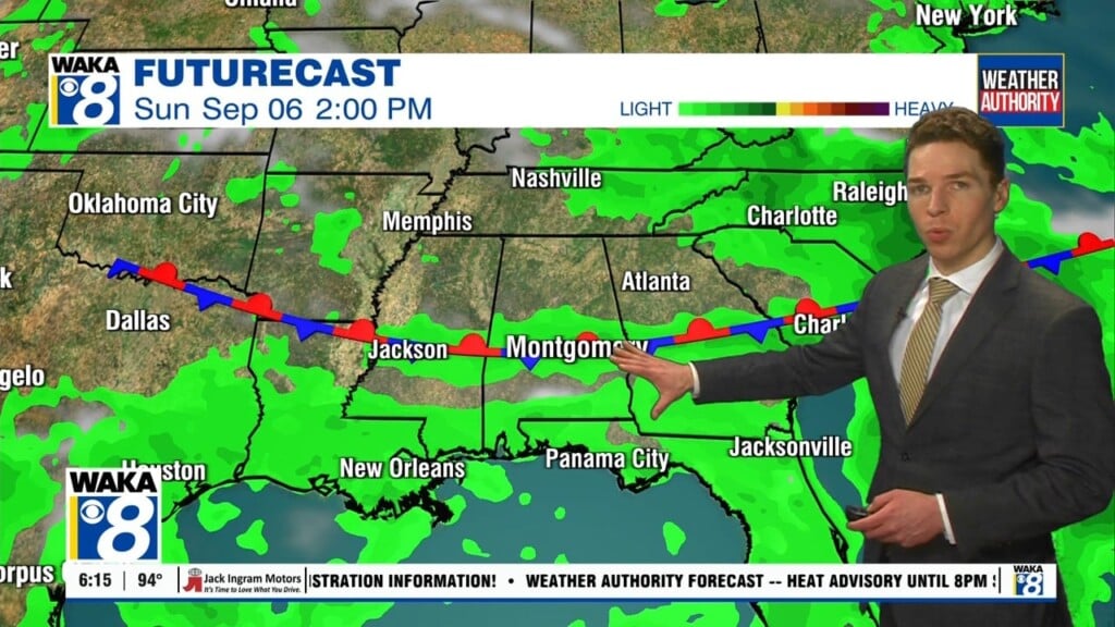
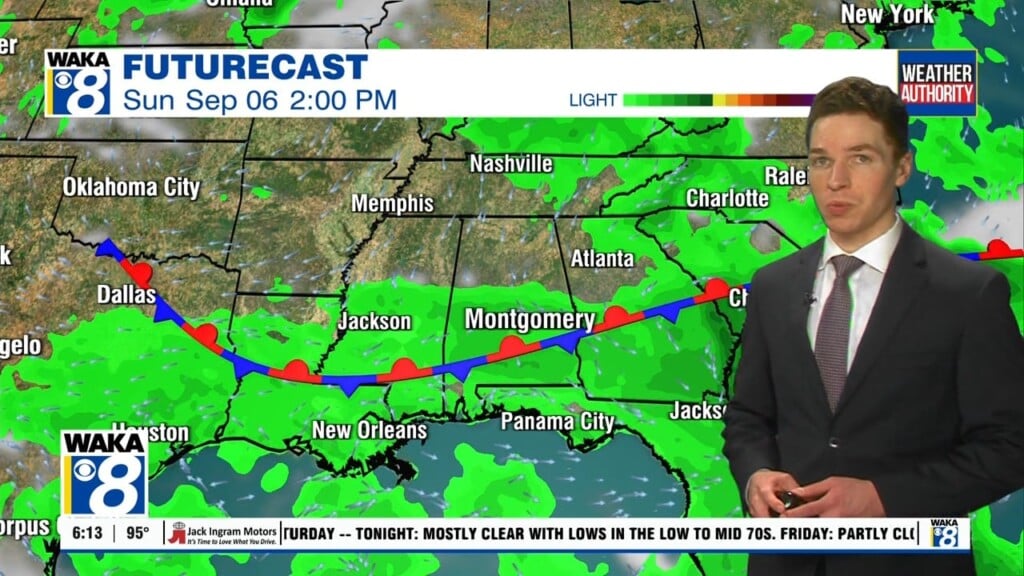
The upcoming weekend will not look that much different from the work week. 90 plus degree heat will remain in place. Rain chances will increase as a frontal system moves into the state Sunday. The boundary will linger over the area Monday into Tuesday of next week. An increase coverage of showers and t-storms should help hold the heat down just a tad. We’re expecting highs in the mid to upper 80s.