The Heat Backs Down For A Bit
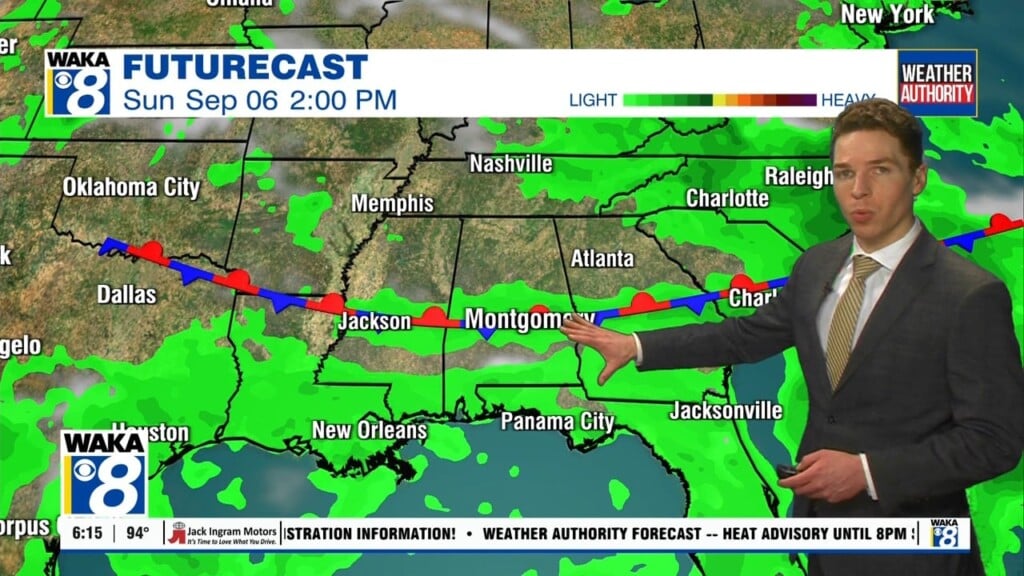
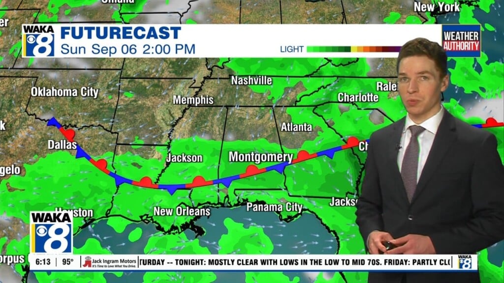
An area of low pressure over the deep south is going to be a player in our weather through midweek. Clouds along with period of showers and t-storms will be the rule. Temps will come down a bit and only manage lower to mid 80s for highs. Typical summertime weather conditions will make a return for the latter half of the week.
In the meantime, we’re expecting a mainly cloudy sky with showers and t-storms this evening. The main concerns with the rain activity will be gusty winds and frequent lighting strikes. We expect the storms to taper off during the late evening but showers may linger over some areas into the night. Temps will drop into the lower to mid 70s for lows.
Looks like a decent chance for showers and t-storms Tuesday and Wednesday. The area of low pressure will still be around and helping to generate additional showers and t-storms. As a result, high temps will continue to remain below average for July. Typical, we’re around 94 but we’re thinking lower to mid 80s through midweek.
High pressure will help nudge the area of low pressure out and we begin to settle back into a typical July weather pattern for the latter half of the week. You can expect partly sunny skies along with isolated showers or t-storms. The heat will crank up again and temps respond with lower to mid 90s likely Thursday through the upcoming weekend.