90+ Degree Heat Making A Come Back
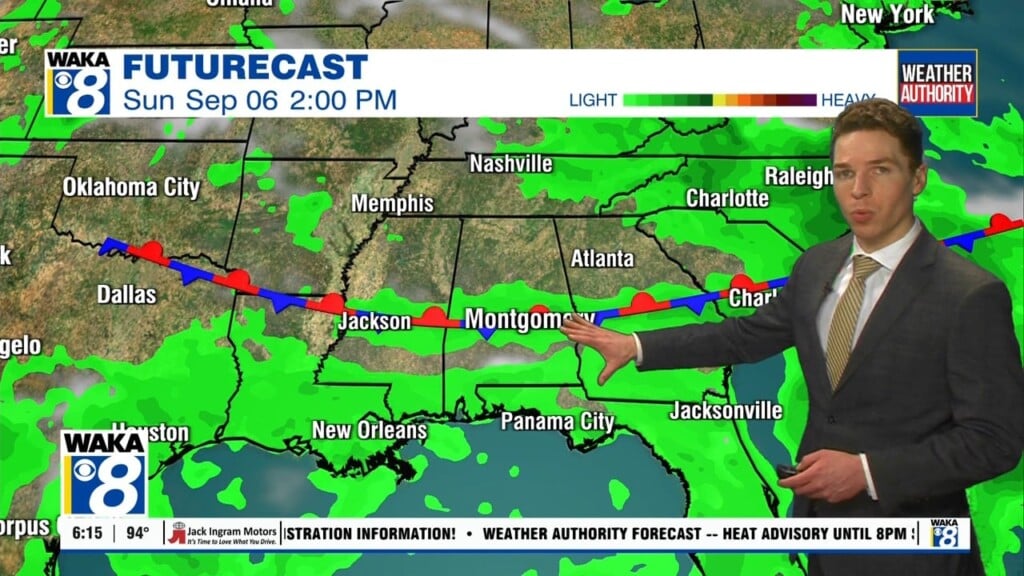
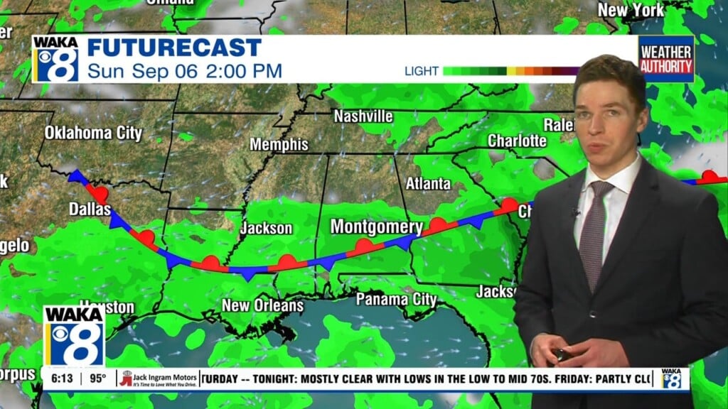
The area of low pressure over the deep south is moving westward and away from our area. As result, our rain chances will decrease for the latter half of the work week. Temps will begin to climb and we’re back into the lower to mid 90s again.
In the meantime, we’re expecting a mainly cloudy sky with showers and t-storms this evening. The main concerns will be a brief heavy downpour and lighting strikes. We expect the rain activity to taper off during the late evening but showers may linger over some areas into the night. Temps will drop into the lower to mid 70s for lows.
High pressure builds over the area and it will help nudge the area of low pressure father out and we begin to settle back into a typical July weather pattern for the latter half of the week. You can expect a mostly sunny sky along with isolated showers or t-storms. The heat will crank up again and temps respond with lower to mid 90s likely Thursday through the upcoming weekend.