Storms Could Be Strong To Severe Tonight & Friday
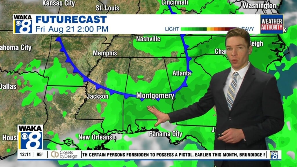
A frontal boundary will approach and push through Northern Alabama Friday. It help ignite showers and t-storms along and ahead of the boundary. Some storms could be strong to severe with the main threat damaging wind gust Friday afternoon. Drier air will make a push into the area behind the frontal boundary over the weekend. You should notice a little break in the high humidity we’ve been dealing with lately.
In the meantime, scattered showers and t-storms are likely through the evening hours. Some of these storms could be strong to severe. The main threat will be damaging wind gusts up to 60 mph. Overnight, it’s looking mostly cloudy with temps falling into the mid 70s.
We continue in the hot and humid weather conditions Friday. Temps will manage the mid to upper 90s for highs. Heat indices will range between 100 to 107. We expect another round of showers and t-storms. Some of the storms could be strong to severe with the main threat being damaging wind gust up to 60 mph.
The upcoming weekend could be looking and feeling a little bit different. A frontal boundary will make a run at the state and it may just move all the way through our area. If we can get on the backside of the boundary, we could experience a little drier air for a change. This would definitely take a bite out of the high humidity for a few days.