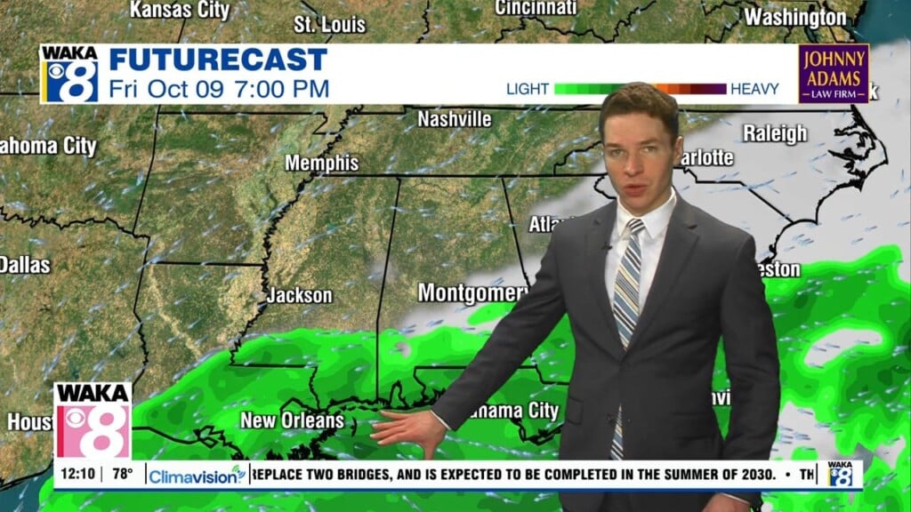
A few drier days with sunshine this week, more rain this weekend
Cloud-cover remains widespread, but rain coverage remains very low for the rest of Monday. High temperatures range from the low to mid 80s, on the warmer side of that range for the locations that see some sunshine in west Alabama Monday afternoon. Monday night looks partly cloudy with lows in the mid to upper 60s.
Tuesday through Thursday look like drier, cooler fall days with sunshine and some clouds in the mix. Highs range from the low to mid 80s, with lows in the upper 50s to low 60s. Rain returns this weekend. An area of low pressure in the Bay of Campeche looks like the main driver for wet weather Saturday and Sunday. The low may become a tropical cyclone for at least a while in the central gulf later this week.
The National Hurricane Center gives the low a 60% chance of becoming a tropical cyclone within 48 hours and 80% chance within 7 days. Even if it does become a tropical cyclone, it may encounter increasing wind shear as it approaches the northern gulf coast this weekend. That would weaken the storm, but it looks like widespread tropical rains affect central and south Alabama Saturday and Sunday nonetheless.