Noon Update: Despite the Clouds, We Stay Dry Today
For both today and Wednesday, delightful fall weather will continue. Expect more clouds than sun today, followed by a mix of sun and clouds tomorrow. Both days with highs will be in the lower to mid 70s. Early morning lows will be mostly in the 50s.
INFERIOR CONJUNCTION OF VENUS: This week, something strange and wonderful is happening to the shape of Venus. Telescopes pointed at the second planet show it becoming very large (larger, apparently, than Jupiter) and curving into a narrow crescent. Astronomers call this an “inferior solar conjunction”–when Venus passes almost directly between Earth and the sun. The event is extremely beautiful, yet dangerous to observe.
THURSDAY/FRIDAY: The left over energy associated with Hurricane Willa, now approaching the coast of Mexico in the eastern Pacific, will help to generate a surface low in the northern Gulf of Mexico, and will bring rain back to Alabama these two days. The low will be tracking along the Gulf Coast, so this will be strictly a rain event, and a chilly rain event as well. Expect cloudy conditions with periods of rain, temperatures will have a hard time getting out of the 50s both days.
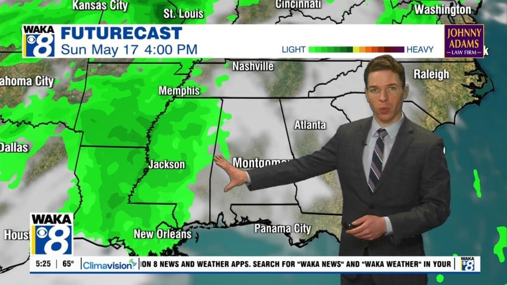
THE ALABAMA WEEKEND: At this point the weather looks cool and dry Saturday and Sunday; partly to mostly sunny both days with highs in the low to mid 60s. Early morning lows will be generally in the 40s. We do note an upper trough will pass over the state Sunday with some clouds, but for now the air looks a bit too dry for any meaningful precipitation.
NEXT WEEK: The first half of the week looks dry, but some rain returns by Thursday or Friday with an approaching cold front. Temperatures look to be in the 60s for highs and 40s for lows, which are several degrees below average for this time of year.
TROPICAL UPDATE: The Atlantic basin remains quiet, and tropical storm formation is not expected through next week.
Have a great day!
Ryan


