Noon Update: Election Day Forecast
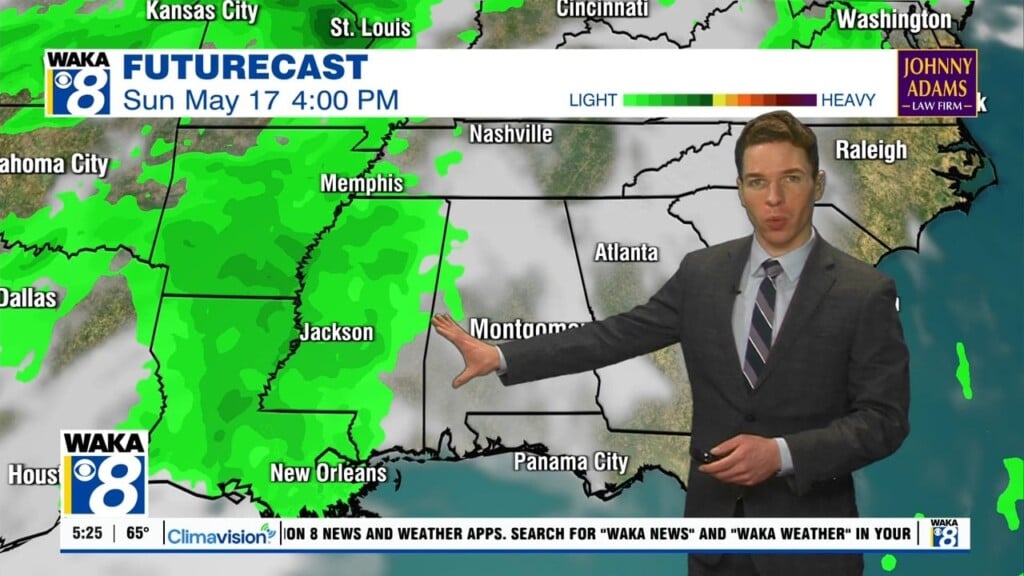
ELECTION DAY: A line of strong but weakening storms continues to drop south through Alabama this morning. For the first half of our Election Day we are expecting rain and storms across much of the area, and some of those storms could be strong and perhaps briefly severe. The SPC has much of the area highlighted in a “marginal risk” (level 1/5) for severe storms today.
There could be a few pockets of damaging wind gusts and an isolated tornado cannot be completely ruled out, but the overall threat if very low. By this afternoon, as the front pushes south, the rain and storms will come to an end and we should see some sunshine for the second half of Election day.
REST OF THE WEEK: The surface front will become stationary near the Gulf Coast for the rest of the week with moisture lingering and Wednesday and Thursday look like cloudy days with rain and storms at times with highs in the 70s. Another cold front will push through the state late on Friday and behind it, colder air arrives for the weekend. On Friday, we still expect rain and storms with highs near 70°.
GEOMAGNETIC STORM IN PROGRESS: Earth is entering a stream of high speed solar wind and this is causing minor G1-class geomagnetic storms on Nov. 4th. Bright auroras are being reported around the Arctic Circle and electrical currents are flowing through the ground in parts of Norway. Such storms sometimes cause auroras in northern-tier US states from Maine to Washington, which may be observed after nightfall on Nov. 4-5.
THE ALABAMA WEEKEND: It will be another gorgeous fall weekend across Alabama as both Saturday and Sunday will feature sunny cool days and clear cold nights. Actually we are expecting the coldest temperatures so far this season by both Saturday and Sunday morning with lows in the 37-42 degree range. Afternoon highs will be in the lower and mid 60s both days.
NEXT WEEK: A trough will continue to dig down into the Southeast and most of the week looks dry with temperatures remaining well below average. Monday’s high will drop to near 60 degrees, and the northern half of the state should see a widespread freeze by Tuesday and Wednesday morning. For South/Central Alabama, highs for mid week look to be in the upper 50s, and lows should be down into the 30s.
Have a great day and make sure you vote!
Ryan


