Warming Through Midweek But More Storms Ahead
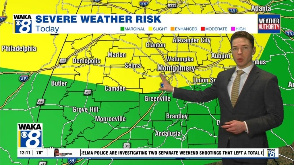
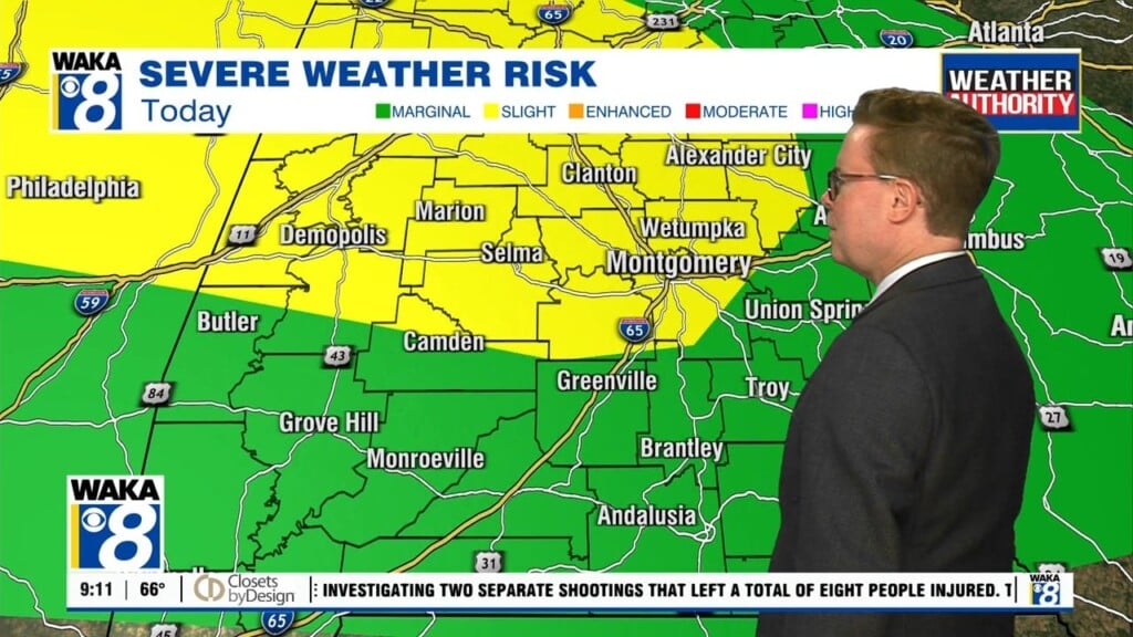
We’re in the midst of a mainly clear and dry weather pattern but this will briefly come to an end midweek. High pressure over the region is carving us out these pleasant spring weather conditions. Mostly sunny skies along with southerly breezes will help send temps into the 80s over the next few days. Changes in our weather comes late Wednesday into early Thursday. A frontal system will advance eastward towards us with rain and storms developing ahead of the boundary. Some storms will be strong and possibly severe. All modes of severe storms are possible with this round. Even outside the storms, winds will be rather gusty at 30 to 40s mph. It’s a dynamic weather disturbance that could produce damaging winds up to 70 mph and a few tornadoes. Everyone will need to have a way of receiving warning overnight Wednesday.
Improving weather conditions make a return as high pressure builds back over the area starting Thursday. We finish out the workweek with mainly sunny skies along with cool morning and mild afternoons. We expect upper 40s for lows while daytime high temperatures manage mid to upper 70s.
The upcoming weekend is starting to trend dry. Model data has been suggesting rain for Saturday but latest runs are backing off on that some what. At this point its looking partly sunny with temps reaching the mid 70s both days.


